
latest posts

More Posts
-
2021’s Redeeming Ride
Through most of the winter, I’m usually one of those rah-rah, fat-biking, “there’s no bad weather, just bad gear” type… READ MORE
-
|
Cold Soaking: A Dry Run
A couple of months ago, I came across some videos from a YouTube star in the backpacking/through-hiking world known as… READ MORE
-
Should you ride your bike to the mountain bike trailhead?
Should you ride your bike to the mountain bike trailhead? The short answer is, yes. Of course, as a driver… READ MORE
-
How to Run a Marathon
Back in 2010, I decided in the Spring that I would run a marathon that year. I looked up a… READ MORE
-
|
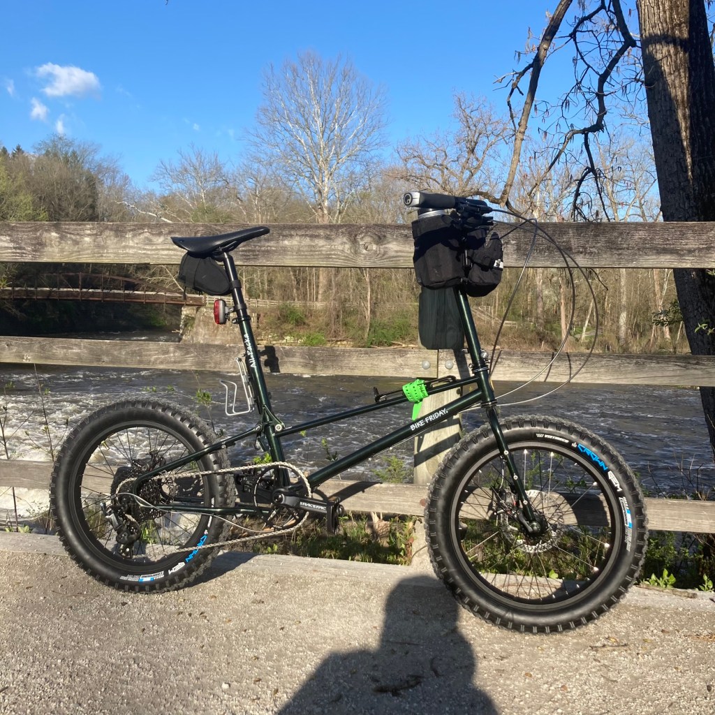
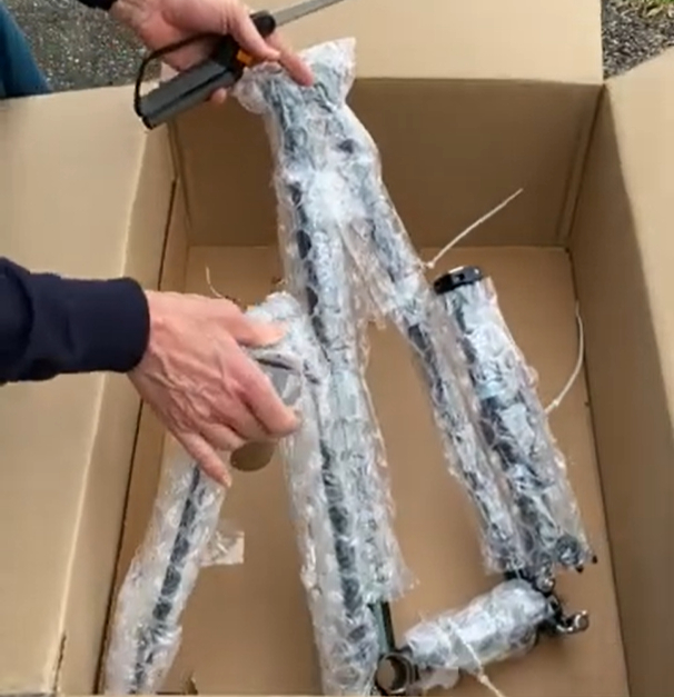
Where is the soul of a bicycle?
Ask just about anyone, and they would say the soul of a bicycle resides in the frame. Tires, brake pads,… READ MORE
Popular Links
List of Trailheads for the Ohio & Erie Canal Towpath Trail
carlessohio’s instagram


