
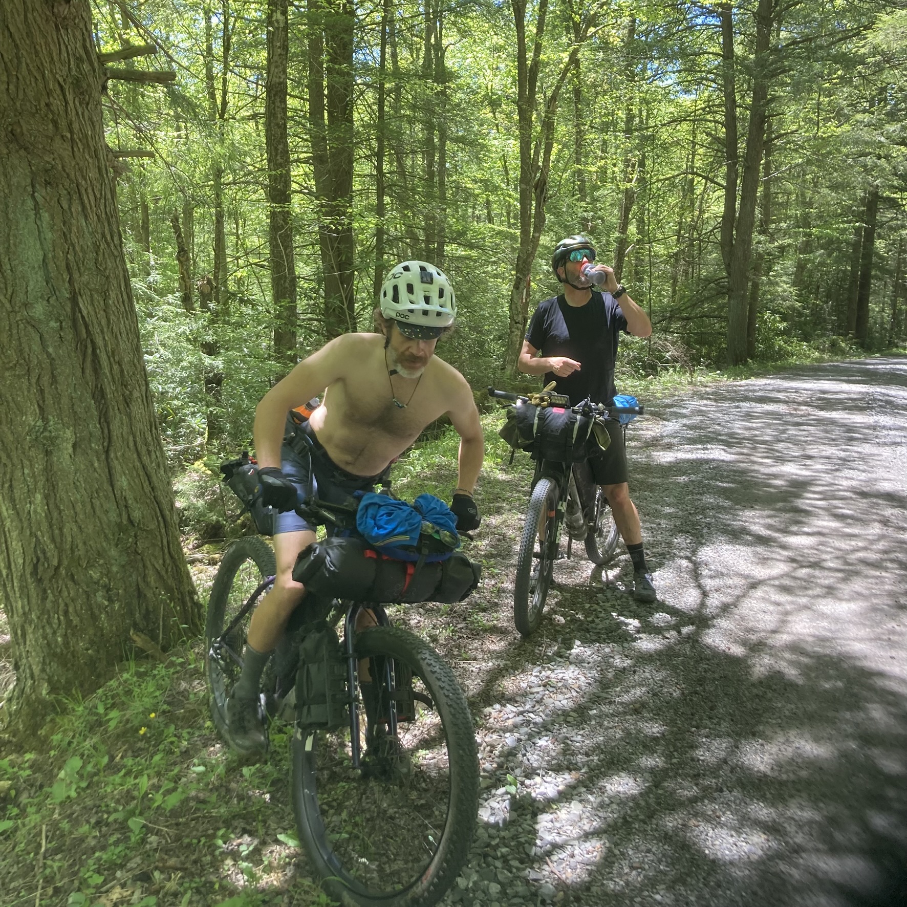
This is an account of my bikepacking trip on the route known as the Canaan Valley and the Forks of Cheat, which you can read more about on bikepacking.com. My friend Brent, who owns All-Around Cyclery in Hudson, Ohio, chose the route, and our friend #QuietRyan came along for the ride.
I focused on enjoying the trip and did not take a lot of photos, so what I have here does not do justice to the scenery, but I hope you find this helpful in planning a similar trip of your own.
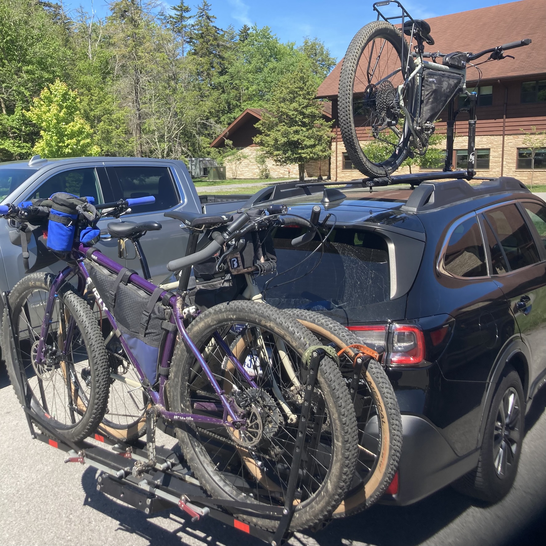
We met at the bike shop early in the morning on Sunday, May 31, 2026. Brent accommodated my Ritchey Ascent and Ryan’s Surly Krampus on his hitch rack, while his Esker Hayduke rode on the roof. We made our way down to wild and wonderful Davis, West Virginia with a few of the usual comfort stops along the way. The official route begins in the central business district of Davis, but we decided to park at the Blackwater Lodge in the Blackwater Falls State Park.
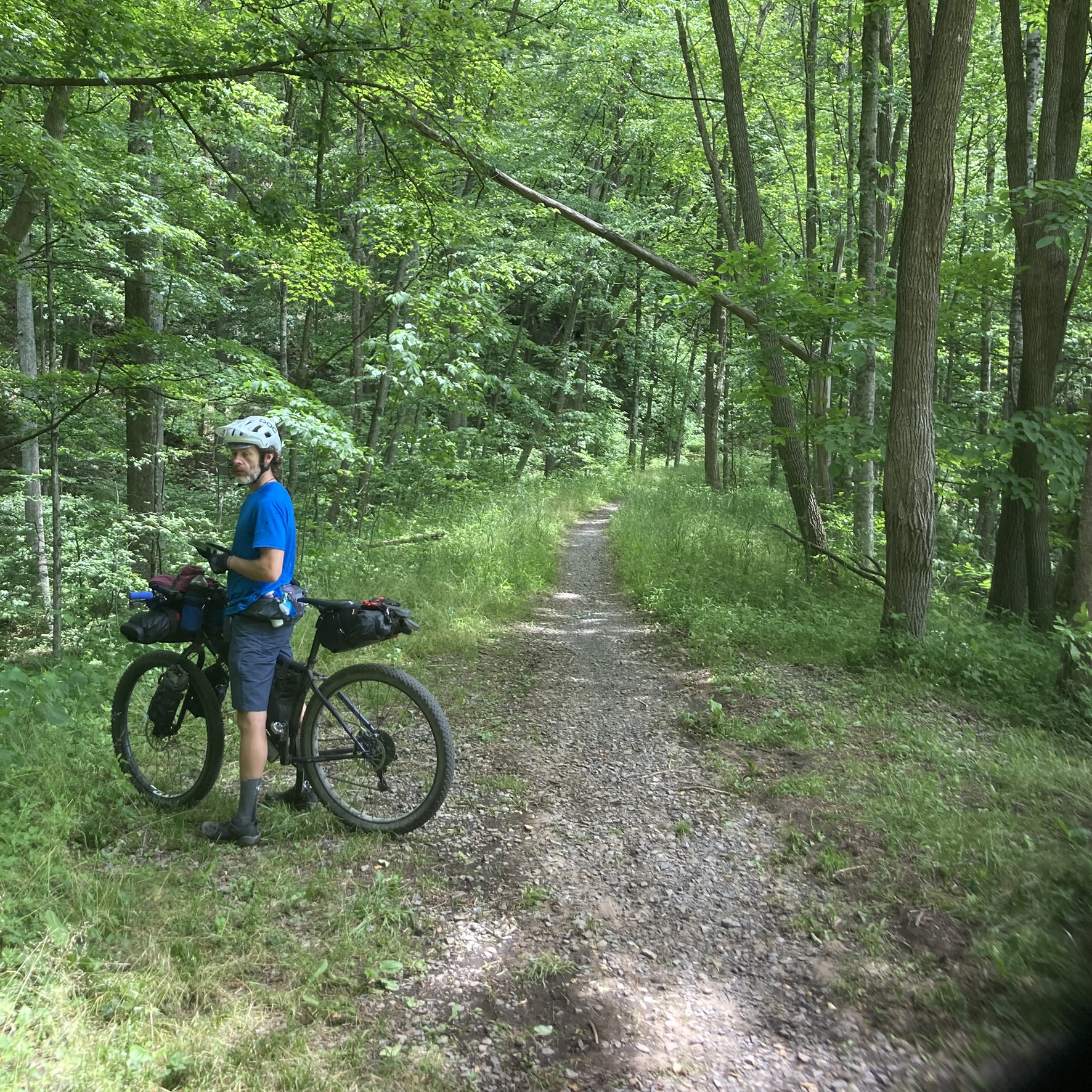
After changing into our cycling clothes in the lodge, we unloaded our bikes and gear from the car, got everything set up on our bikes, and got rolling on the route right around noon. We made a right turn onto the park road from the lodge, where the route heads west.
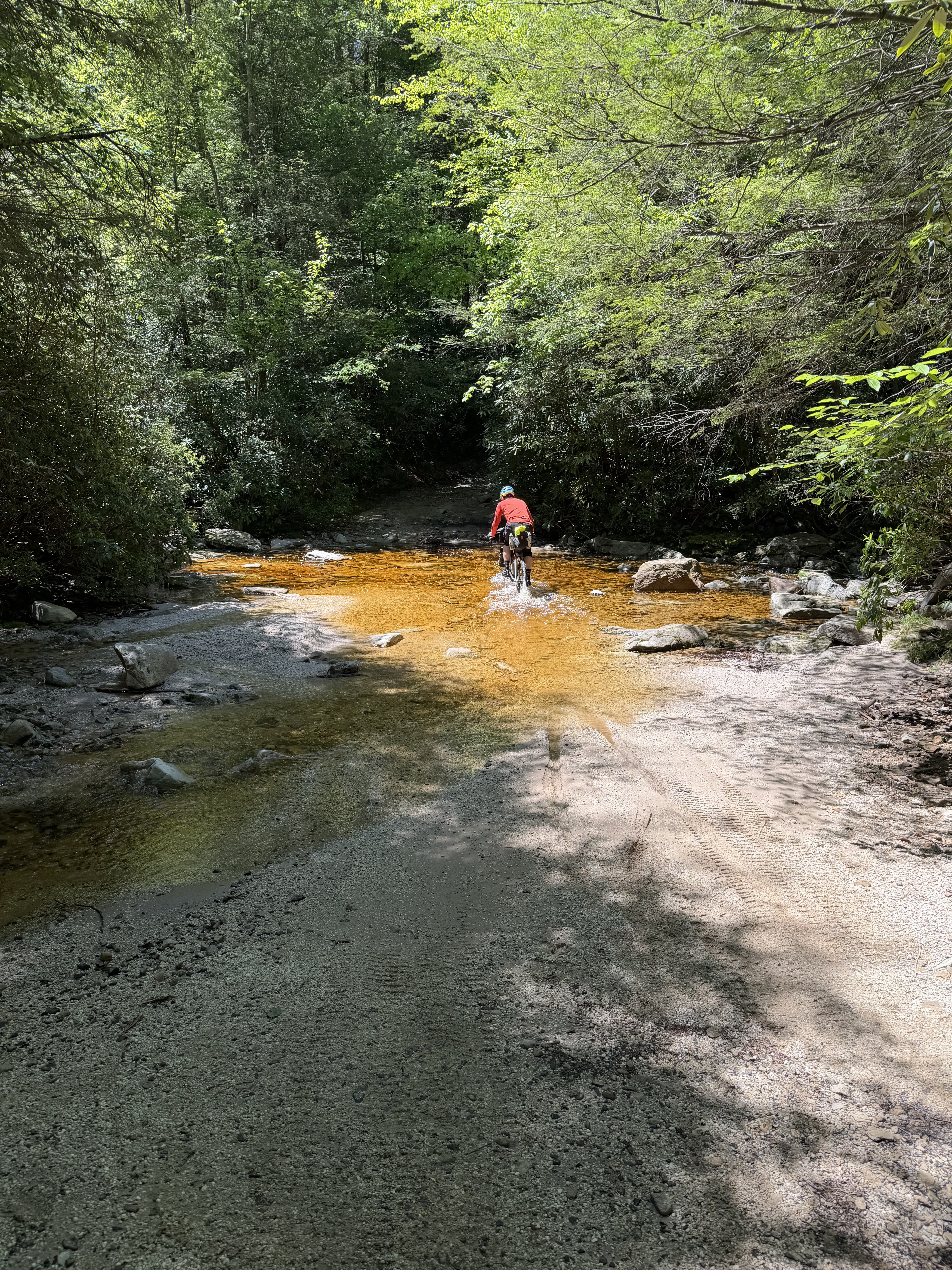
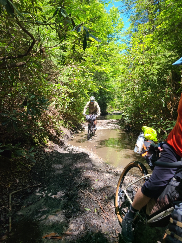
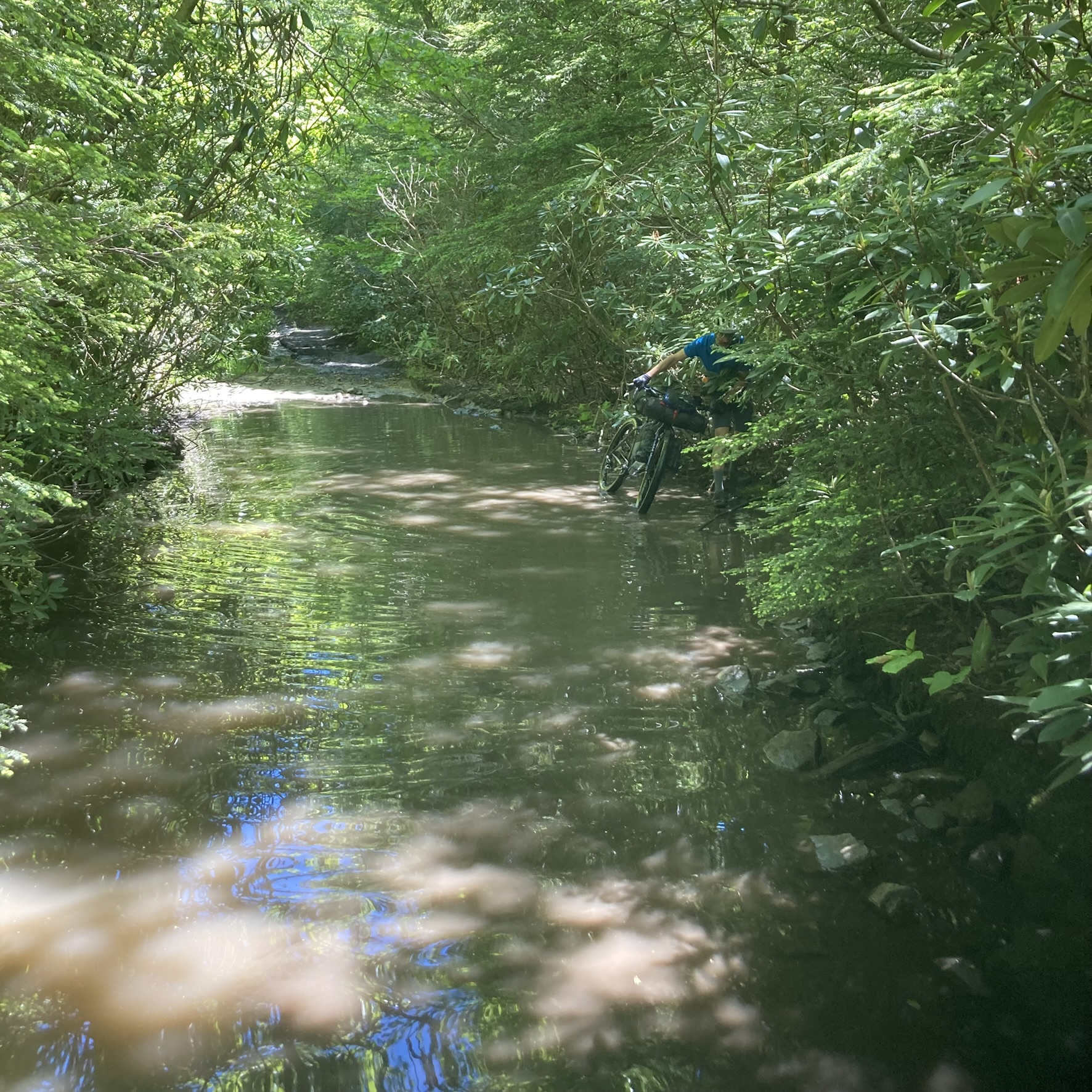
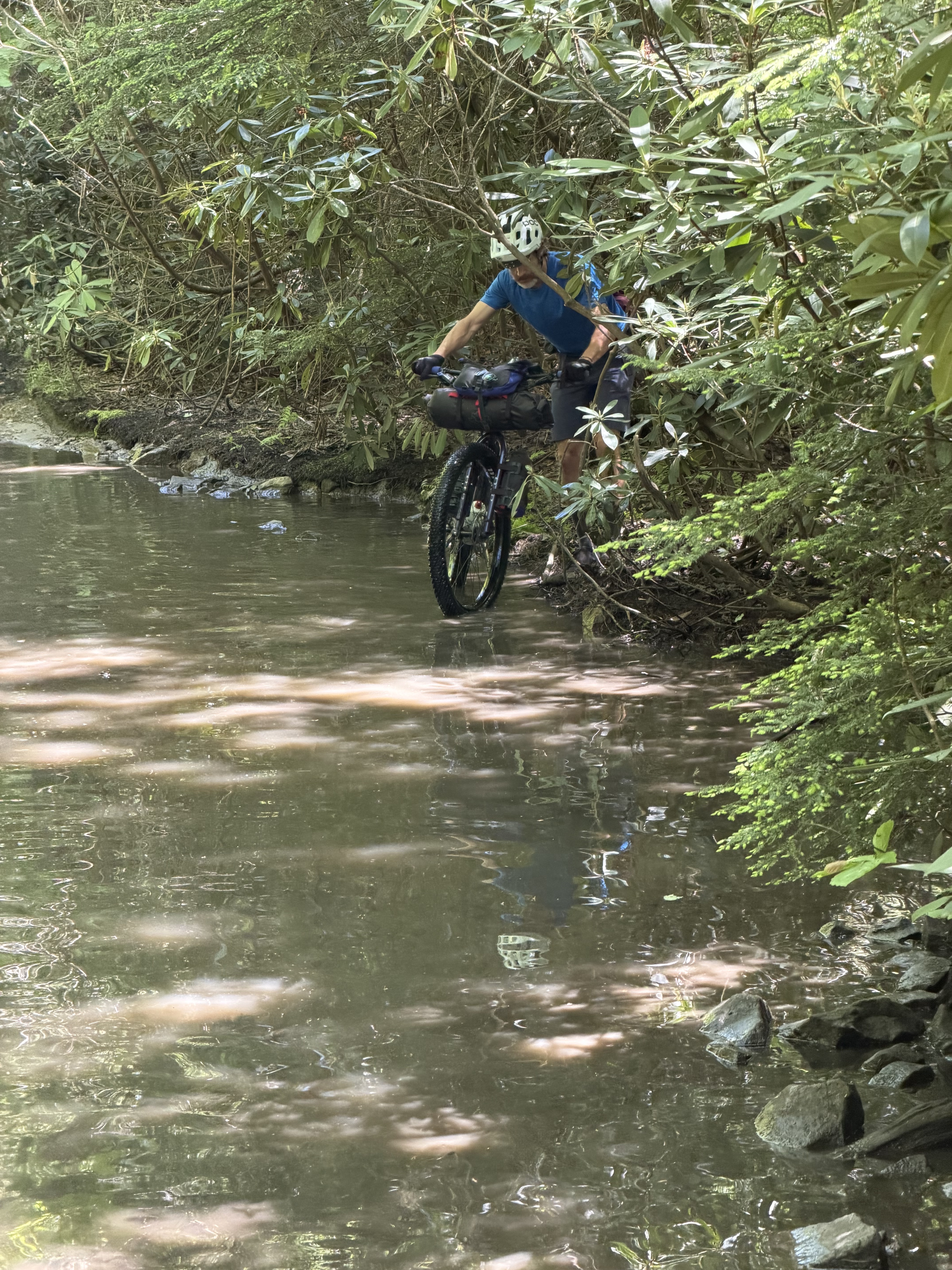
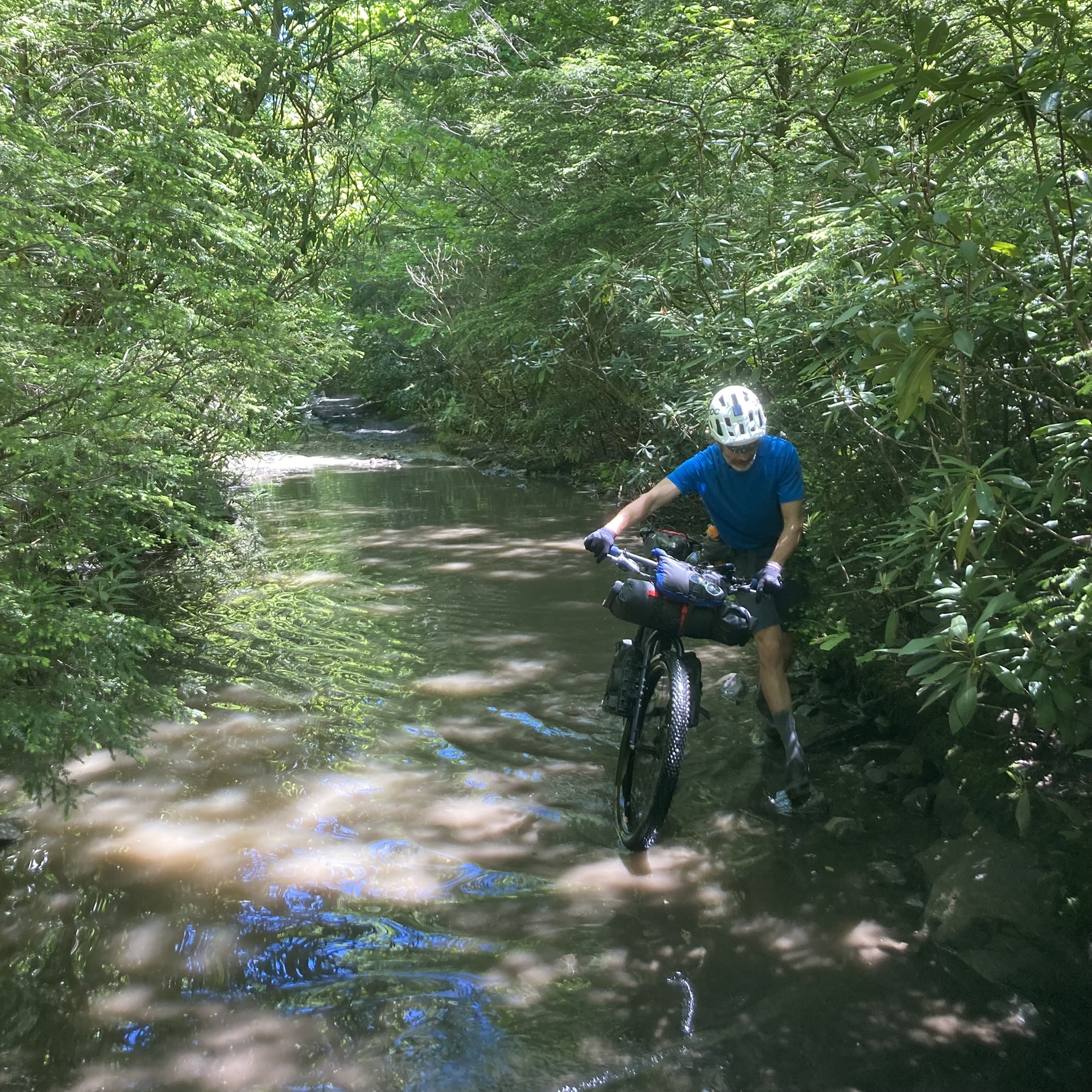
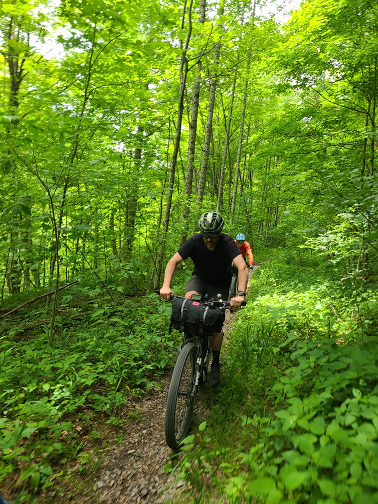
In only about a half mile, the road turned to gravel as it became Canaan Loop Road. About a mile later, the gravel became much chunkier and the road much rougher, with a mixture of gravel, dirt, rocks, stream crossings, and large mud puddles. Our shoes were wet within about two miles. I had to walk a few times; I was a bit under-biked for this section, but I suspect I may have had to walk a couple of times regardless of what bike I had chosen. Brent and Ryan had somewhat easier going with their mountain bikes (and probably their riding skills). All three of us walked to navigate through and/or around some of the larger puddles. It was slow going through this section, but made easier knowing that it would only last about four miles.
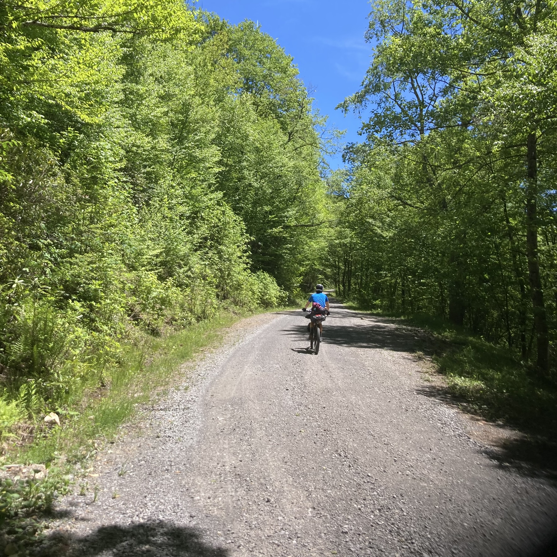
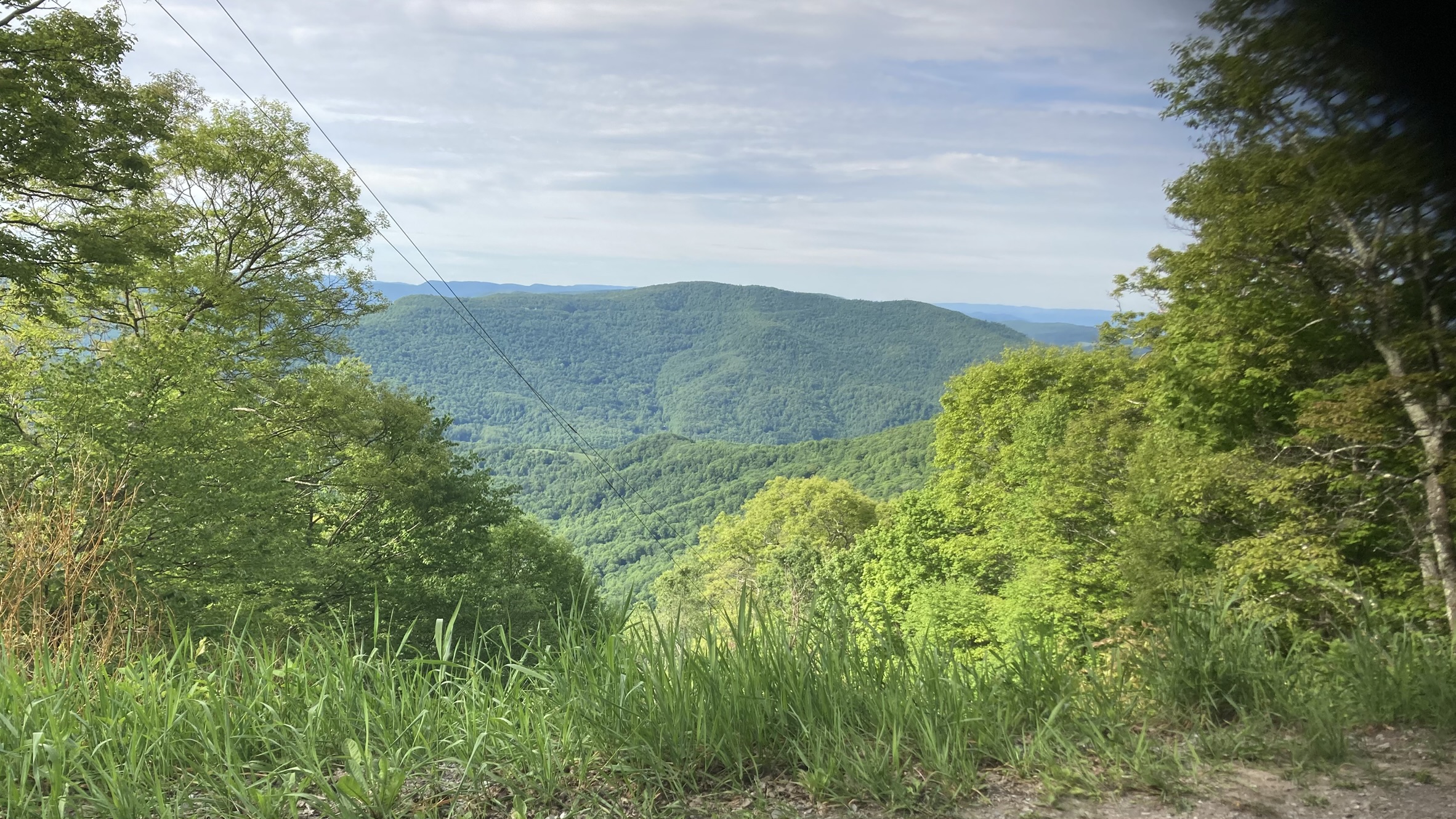
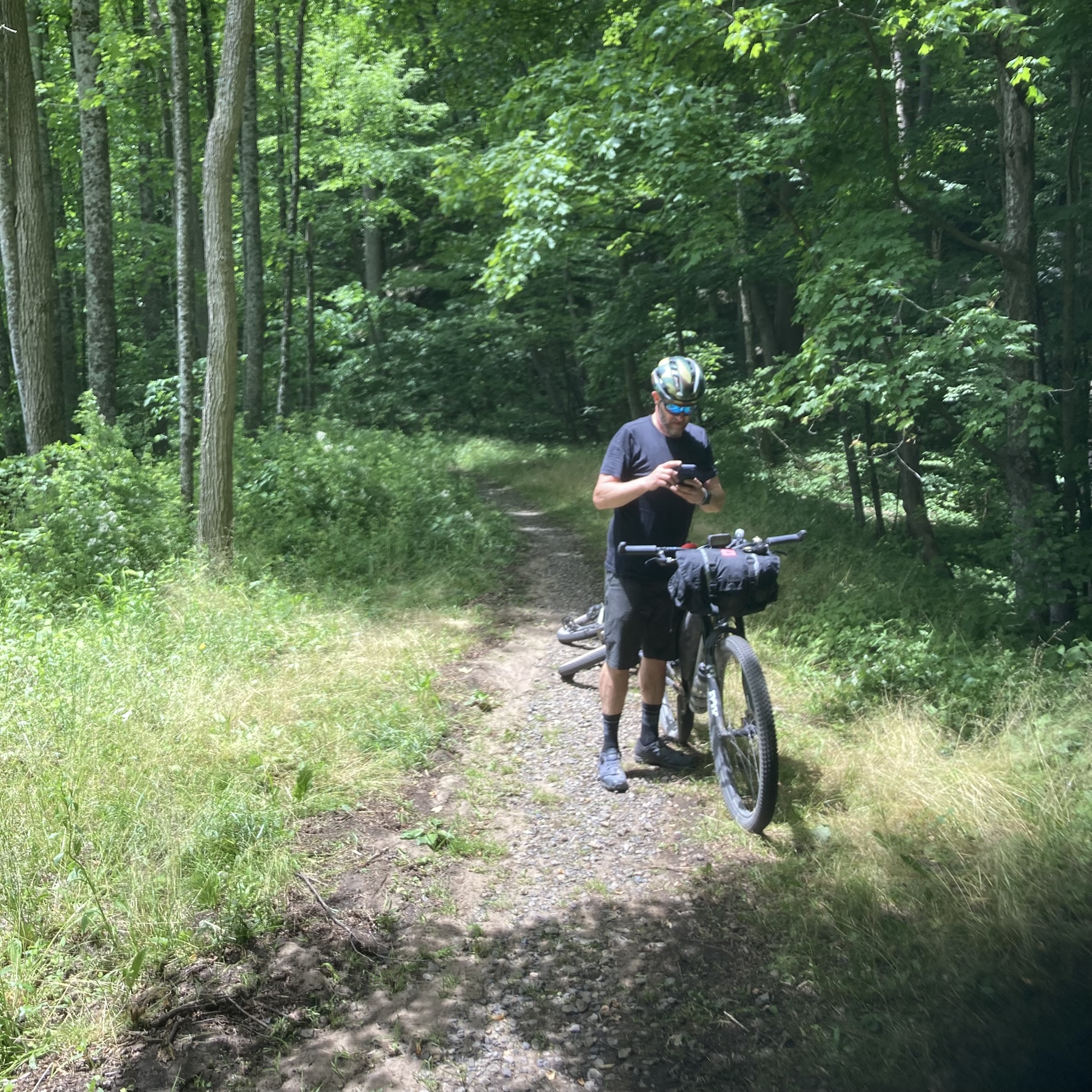
When we finally got to the end of the rough section of Canaan Loop Road, the route continued on a very user-friendly gravel surface, with a long steady climb for several miles, an nice descent for a couple miles, then another long steady climb. Much of the route was shaded; that and temperatures in the low 60s made the pedaling conditions very pleasant.
Near the end of the last climb, we encountered a guy on a motorcycle, a guy walking his dog, and a couple on mountain bikes. We had a nice chat with all of them; the couple said they lived nearby and were on their way home, and they headed off into some nearby singletrack.
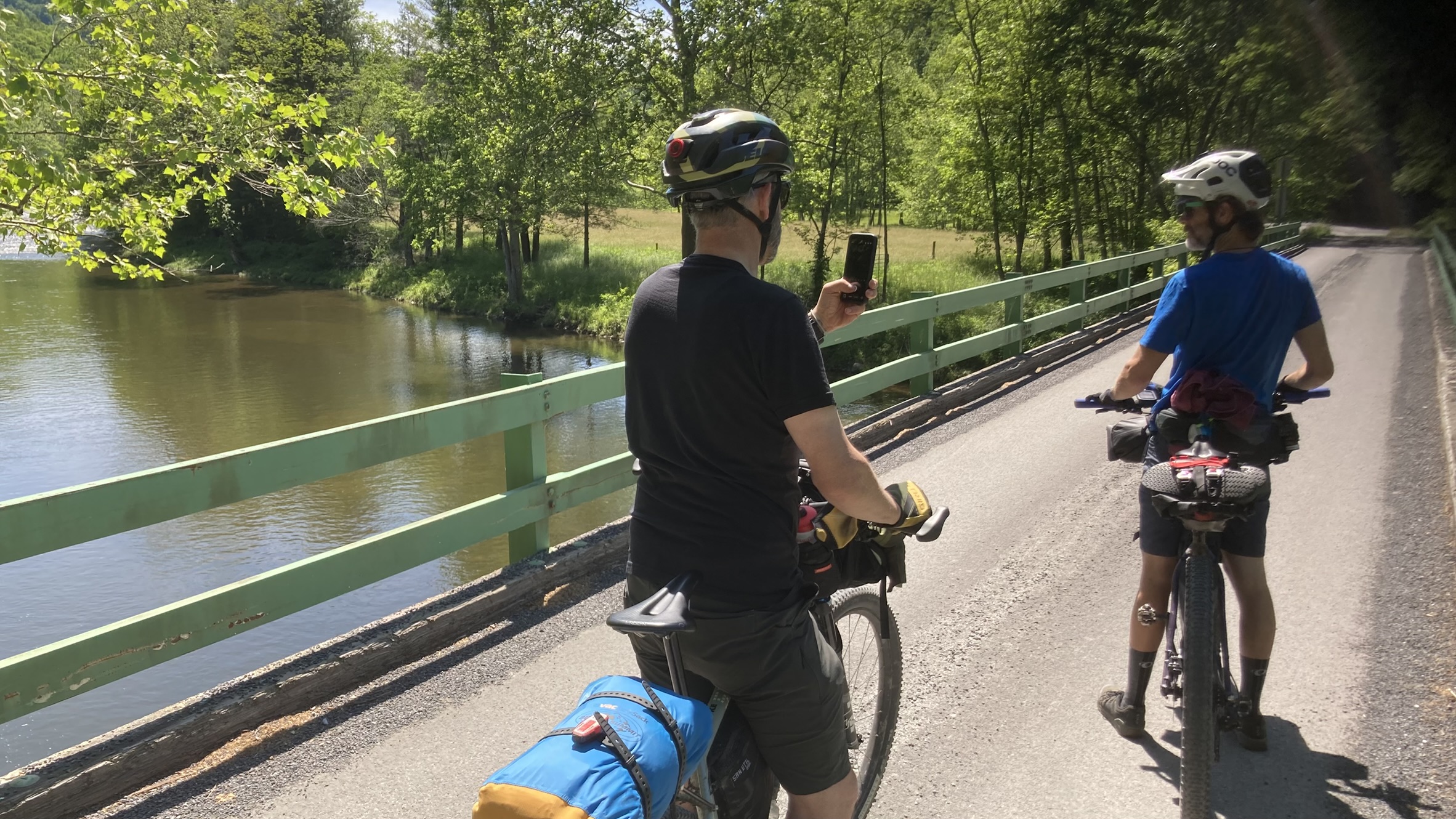
A half mile ahead the route turned to pavement, and the terrain opened up into a wide valley with gently rolling hills. This area was the first return to any semblance of civilization since we started, with a sparse mixture of private homes, farms, and resort rentals.
When I read the route guide in advance, it said that all water sources must be filtered. I took this to mean that there were no services available on the route. Around the 20-mile mark, my stomach was grumbling. Much to my delight, the route dropped out near a major road, where there was a gas station and convenience store. We stopped and filled our bellies with sandwiches and restocked our on-bike fluids.
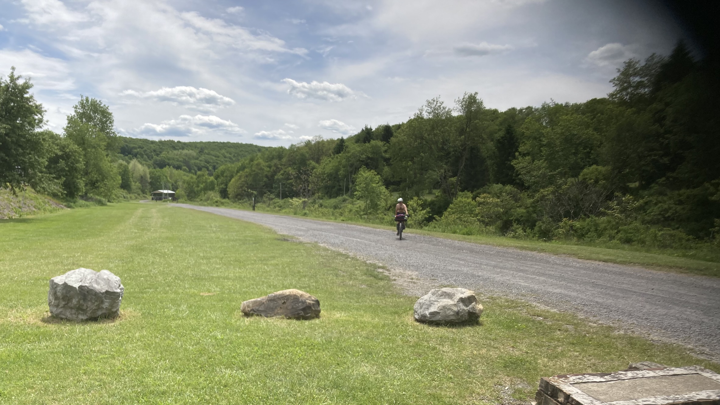
The route continued for a couple miles along this main road, with a view of Timberline Mountain ski resort to our left. We turned right into the entrance for Canaan Valley Resort, then right after that, made a left turn onto a wide, grassy hiking trail. We followed this trail for a short distance until it ended on a paved side road. We followed this and several other paved roads, some gently rolling, some steep climbs and descents, and some flat stretches along a creek.
We eventually came to a paved climb that went up, up, and up for four miles, followed by a brief descent, than turning to gravel and climbing for another 2.5 miles. This was a combination of Glenville Good Road, Jenningston Road, and Ridge Road, and was probably the most difficult climb I have done since Lincoln Gap in Vermont.
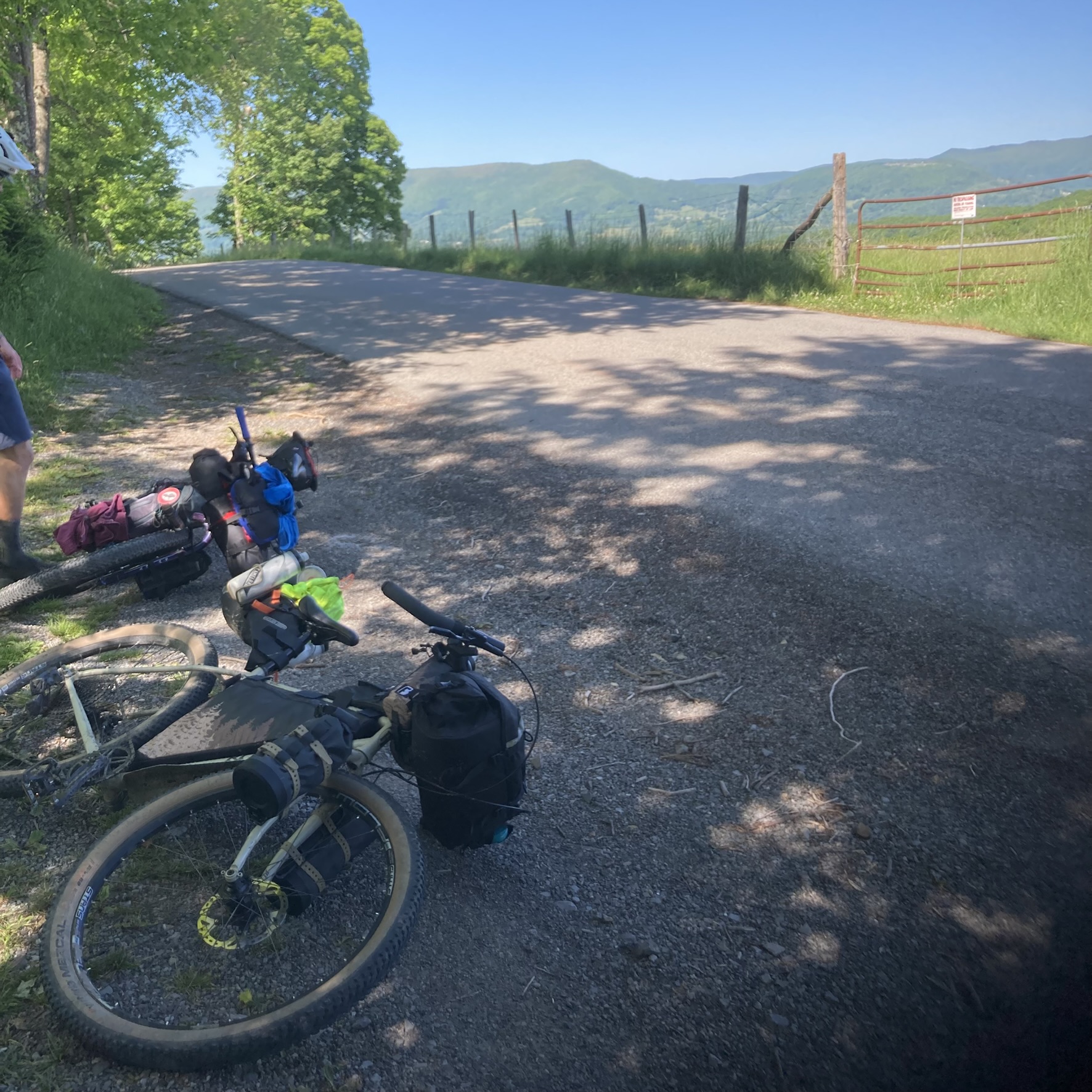
A gravel descent brought us back to another major paved road. We rode this major road very briefly before it turned off to a parallel side road with another descent then a steep climb. Back to the major road for a mile, then repeat on another side road with a steep gravel climb. Back to the major road at the top, where we immediately turned onto another gravel road, which was the entrance to our campground for the night.
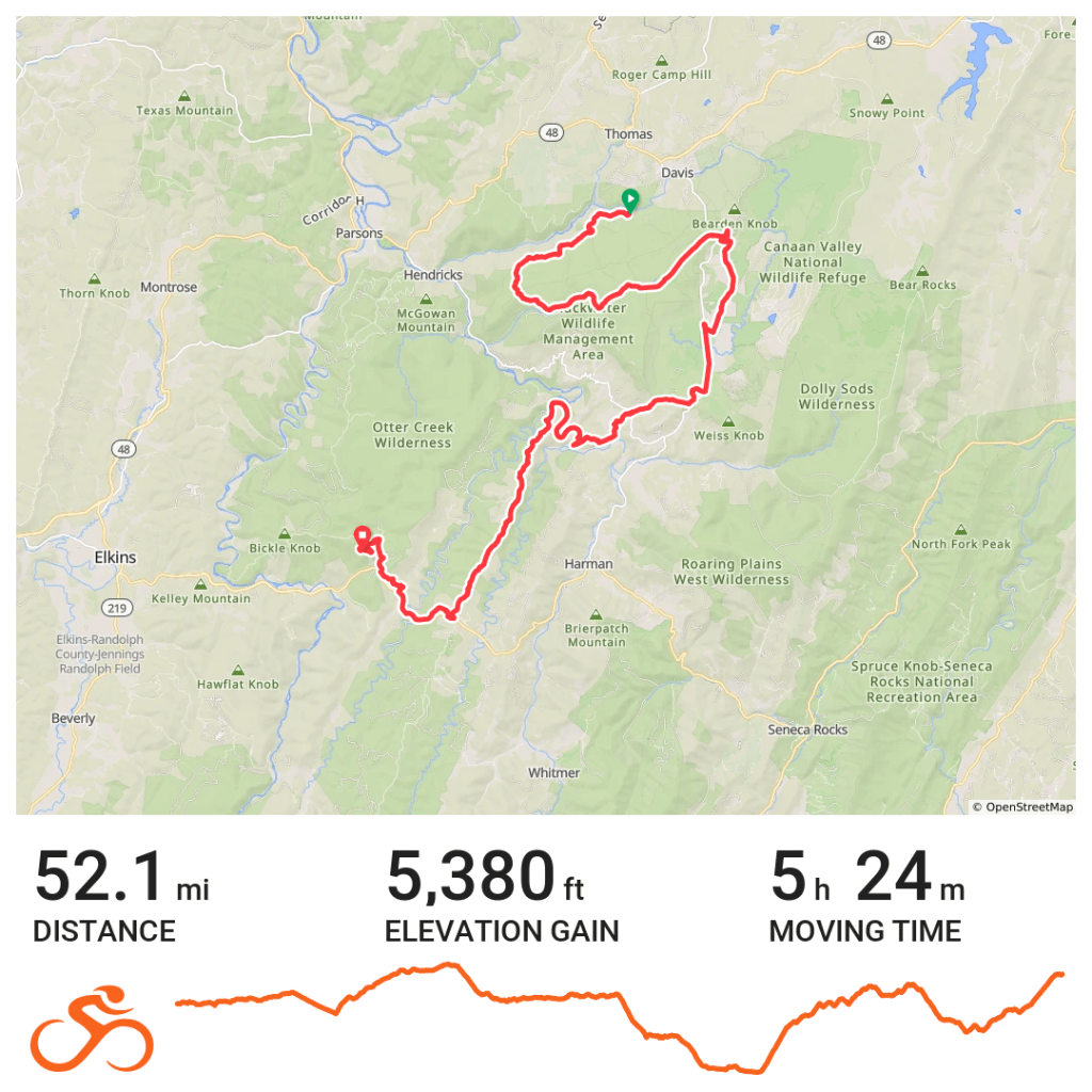
We pulled off at a stream to the side to filter some water to get us through dinner and breakfast. What we didn’t realize until the end was that we had another three miles and 700 feet of climbing on this gravel to get to the campground. We finally arrived with about 52 miles for the day.
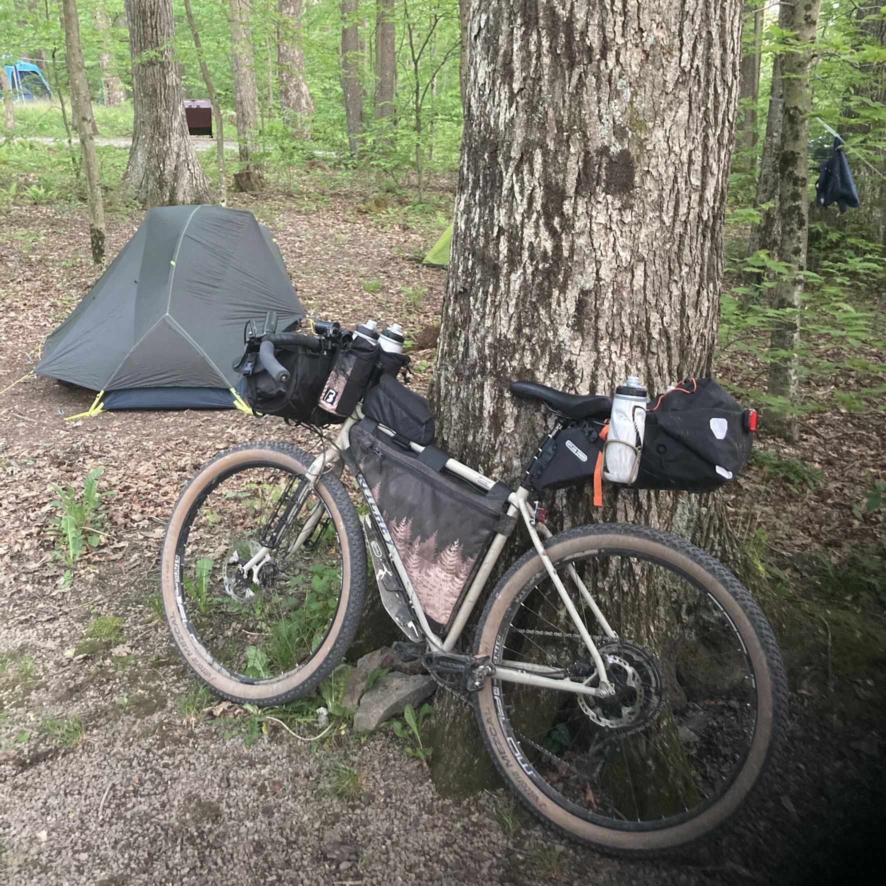
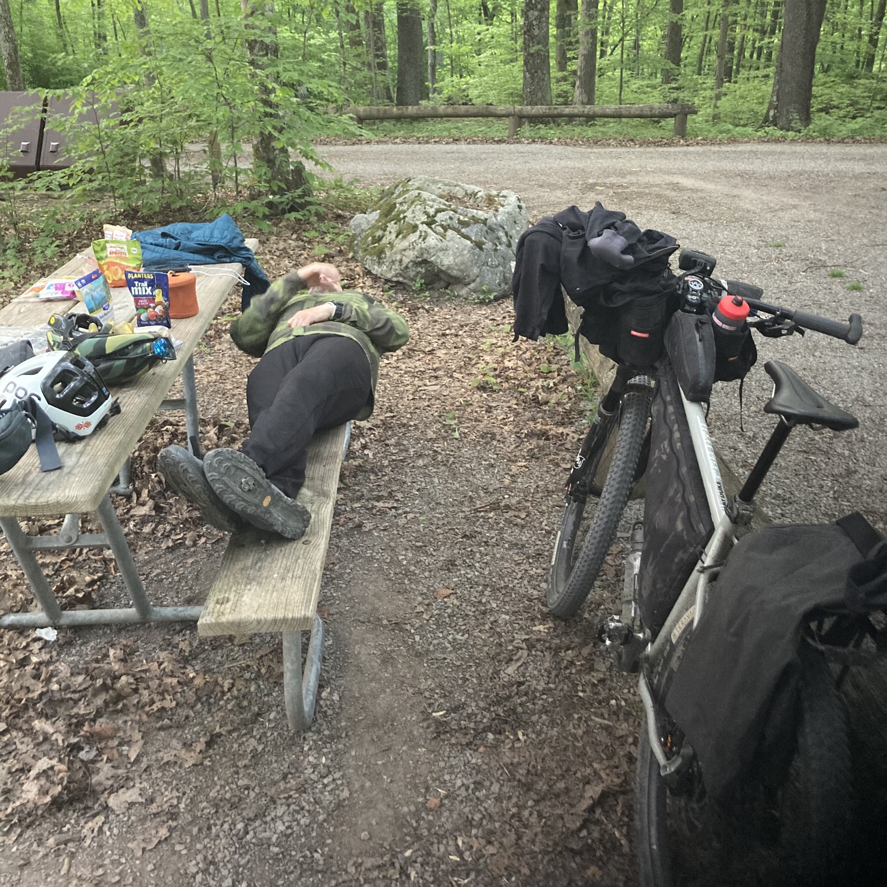
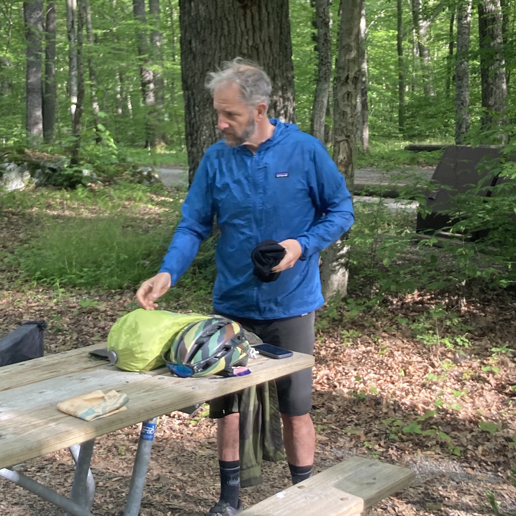
The Bear Heaven Campground has eight primitive sites, each with a picnic table, fire ring, and hook for hanging food. There are shared trash bins and a pit toilet. Six of the eight sites were occupied (including ours). We were the only bike campers; all the others were car camping. The bugs weren’t bad; I wasn’t using any anti-bug lotions or sprays, and I never felt like I was getting attacked. Most noticeable were the many geometer moth larvae, a.k.a. inchworms, which crawled all over the picnic table, our bikes, tents, etc.
After getting our tents and sleeping gear set up, we prepared our dinners. I brought a stove and small pot, but only for making coffee at breakfast. I opted for non-cooked meals on this trip, which consisted of tortillas and pepperoni. I tried to buy cheese as well, but could not find any non-refrigerated cheeses at my local grocery store. The tortilla & pepperoni rolls were supplemented with some trail mix and dried apricots (which also served as some of my on-bike snacks). This combination worked well enough for a one-night trip, but on a longer tour I’d want to bring more variety.
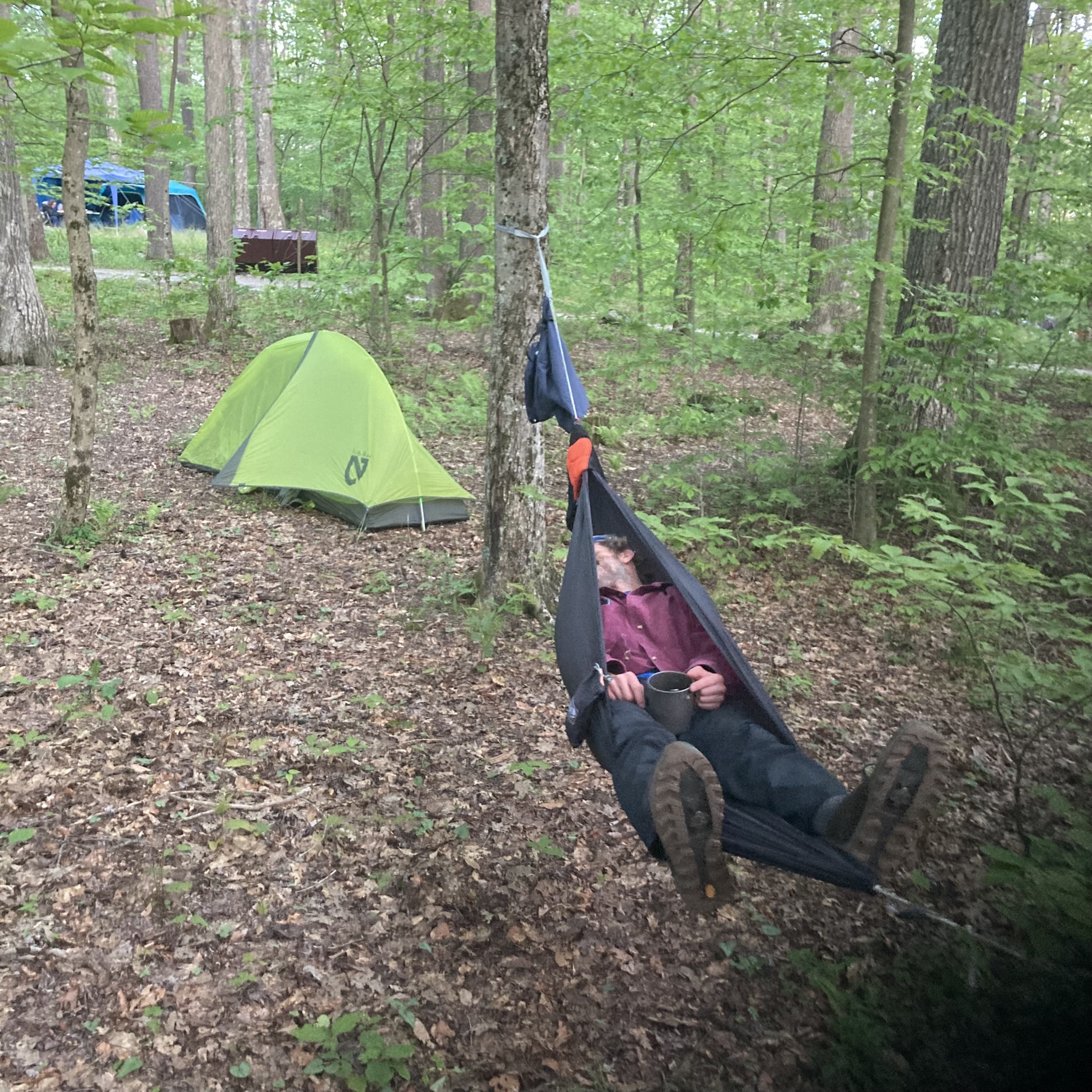
We turned in to our tents to sleep around 9:00pm. I didn’t sleep well, being too cold much of the night. I don’t know what the actual temperatures were, but the forecast was for a low near 40F. I opted to bring my summer sleeping bag, which is rated to 40 degrees, so realistically it’s comfortable down to 50 degrees. I supplemented it with wool long underwear, heavy wool socks, and a light down jacket, but even with all this (plus a light fleece jacket mid-layer), I was still cold. I am a cold sleeper, and I should have learned my lesson by now. I’m always comfortable when I take my 20-degree sleeping bag, but it’s so much extra weight and bulk that I find an excuse not to pack it. I’m thinking about shopping for a quilt to hopefully get the best of both worlds, so if you have any suggestions, drop them in the comments.
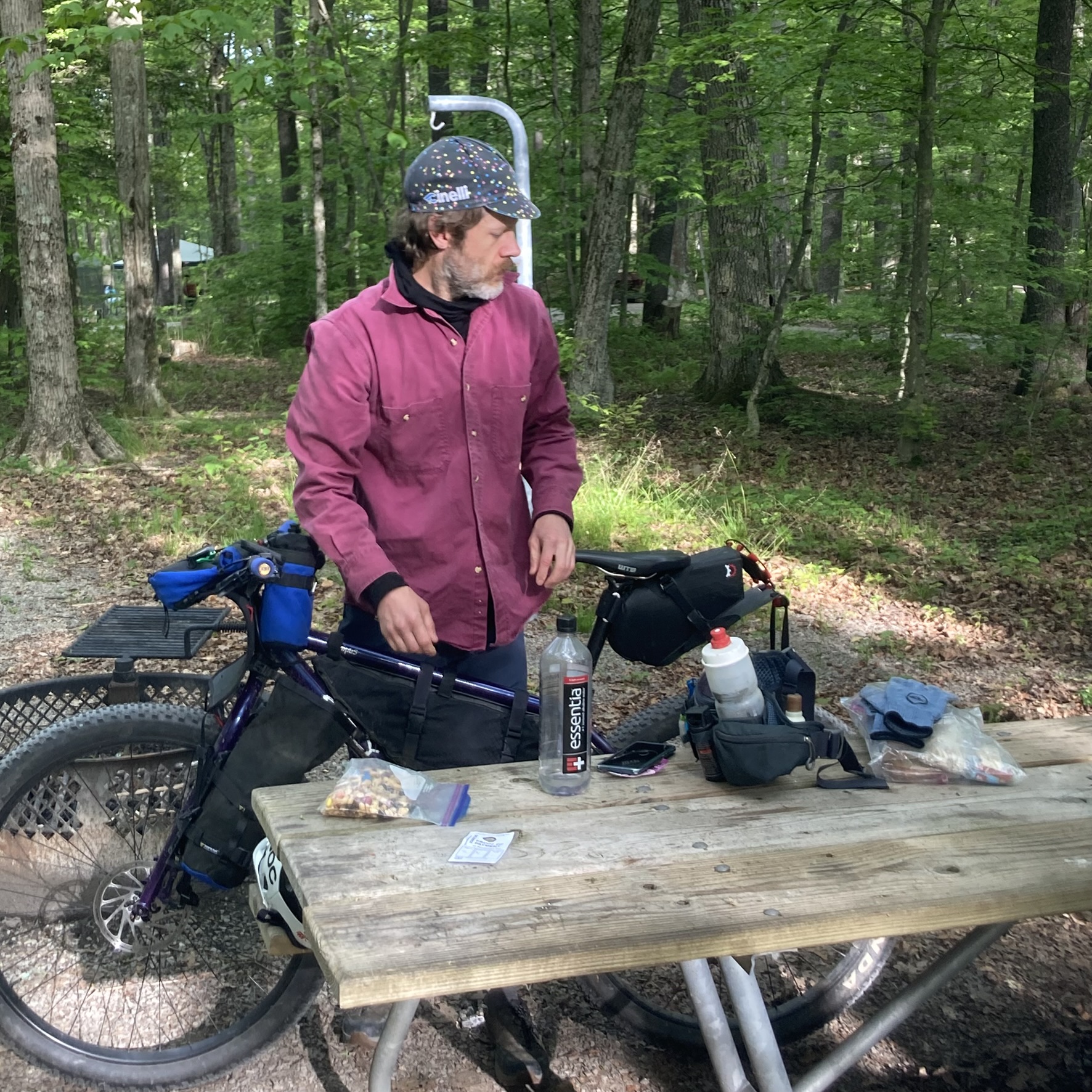
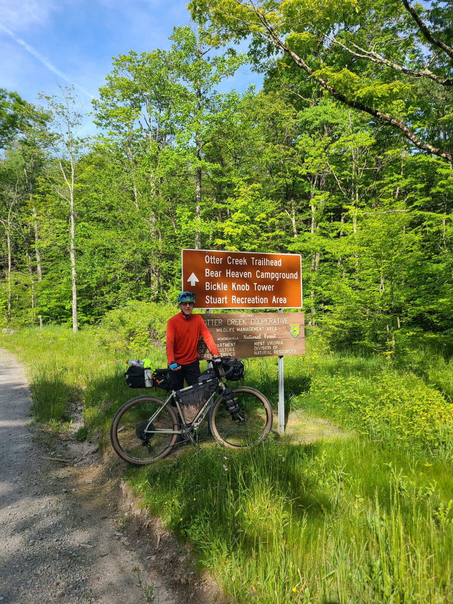
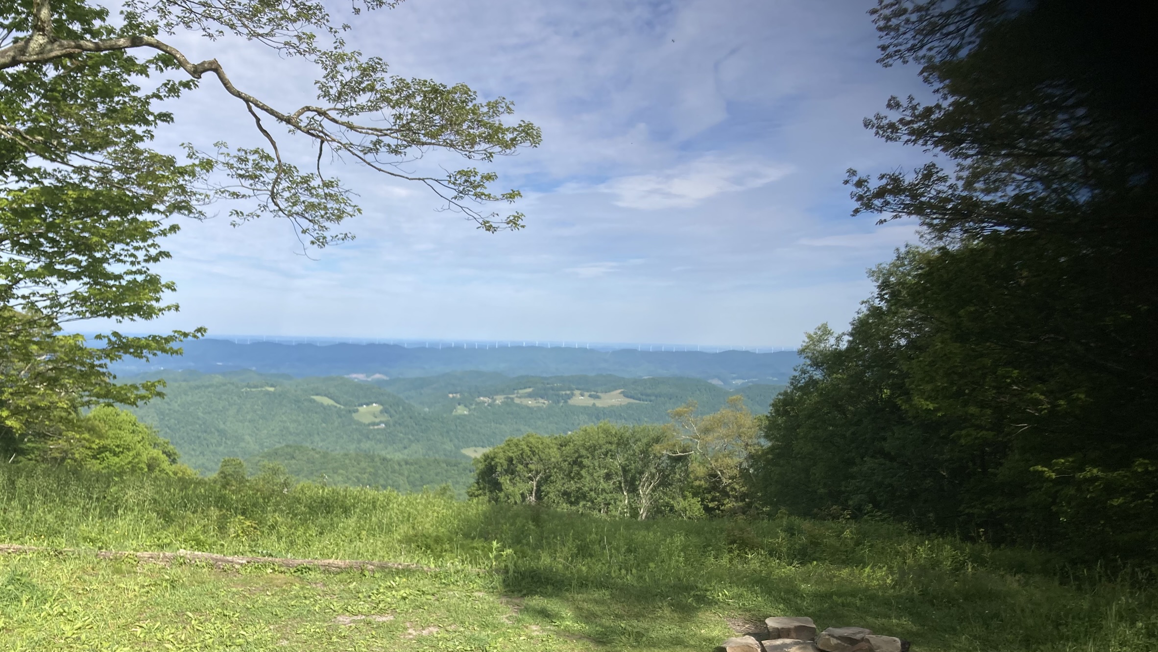
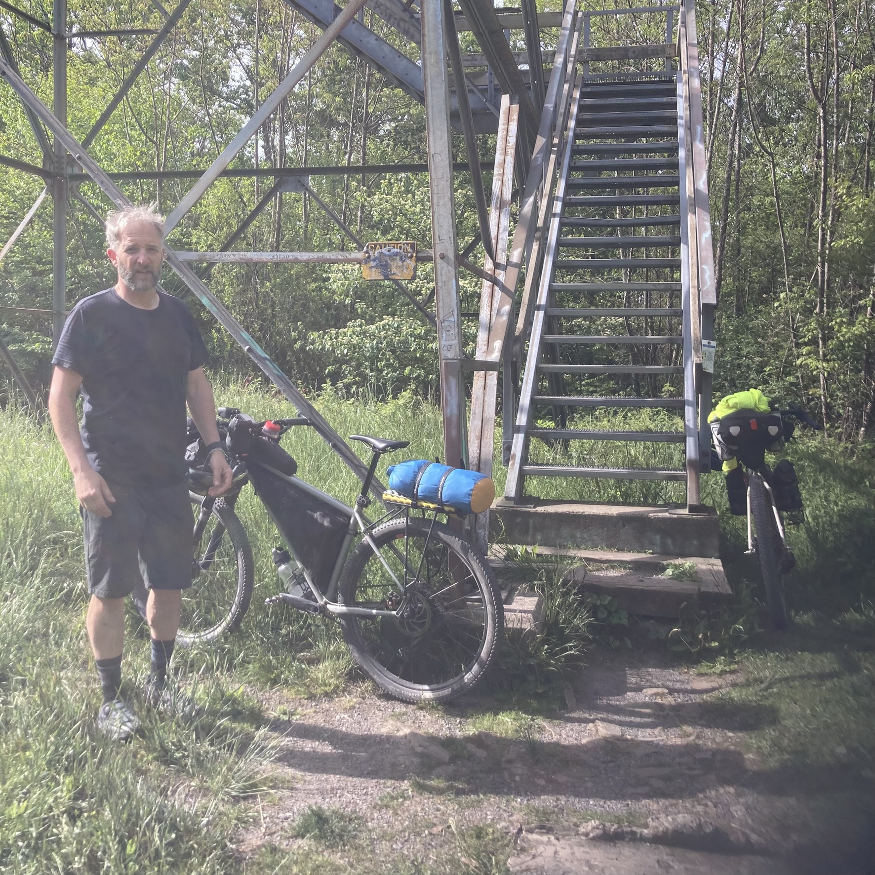
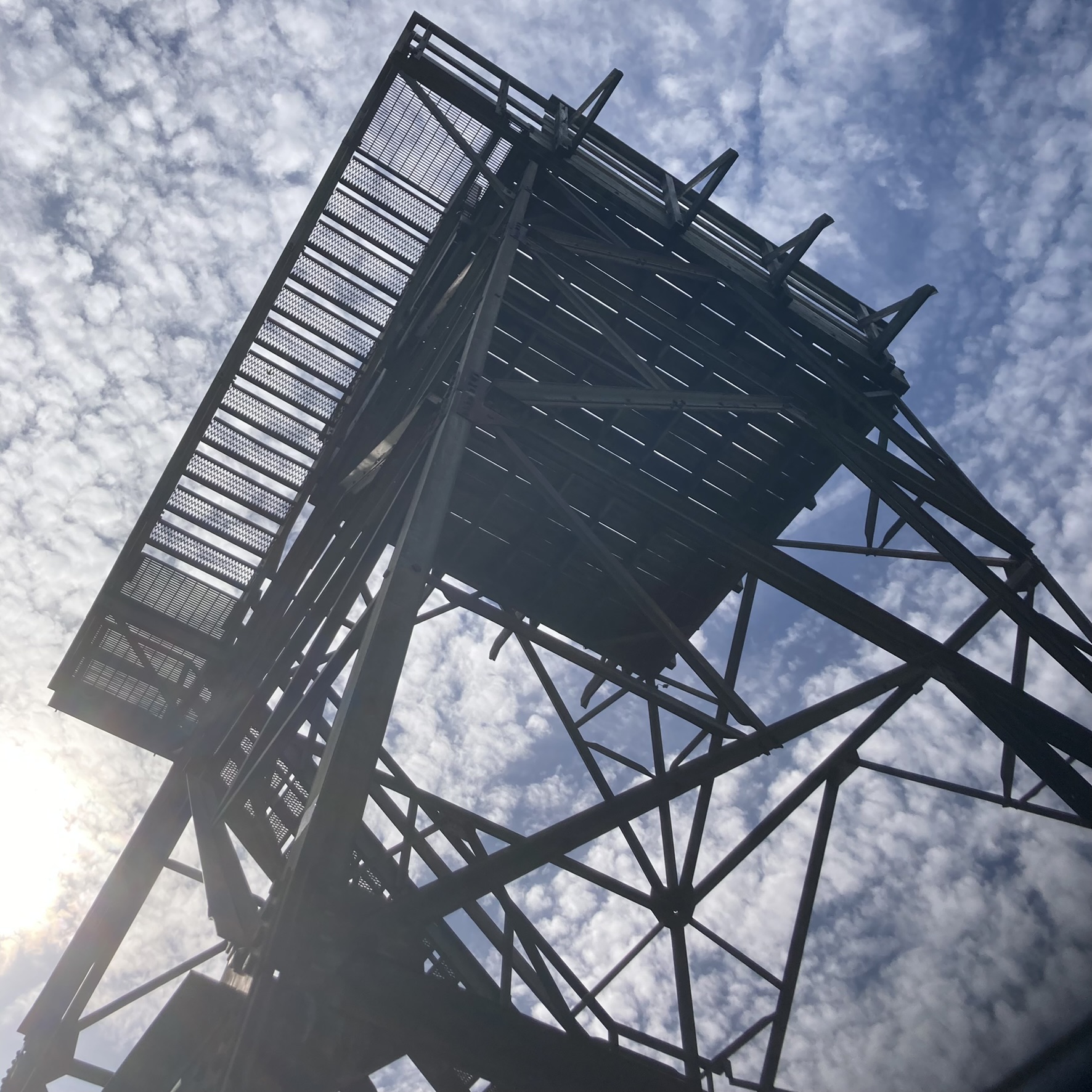
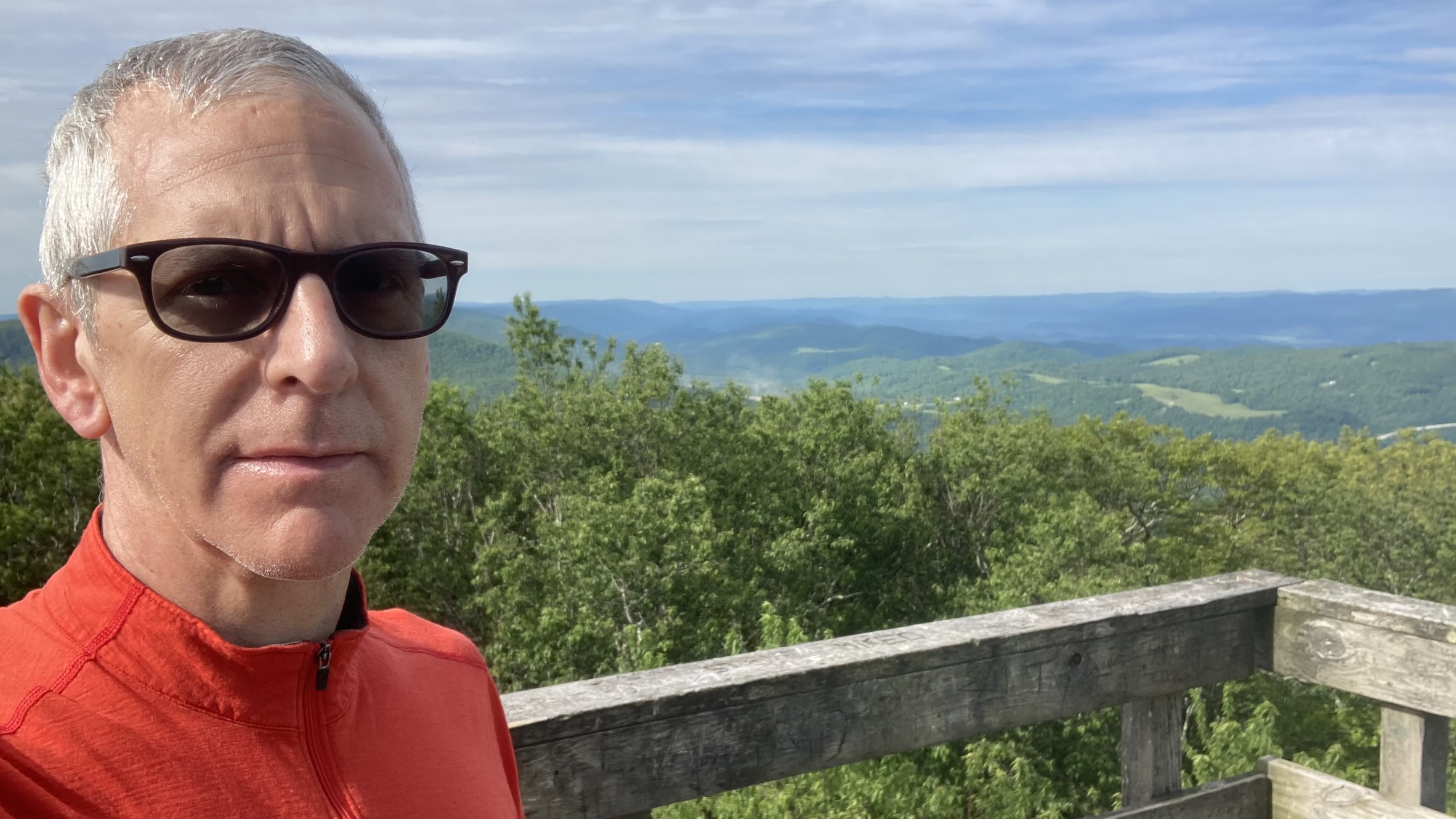
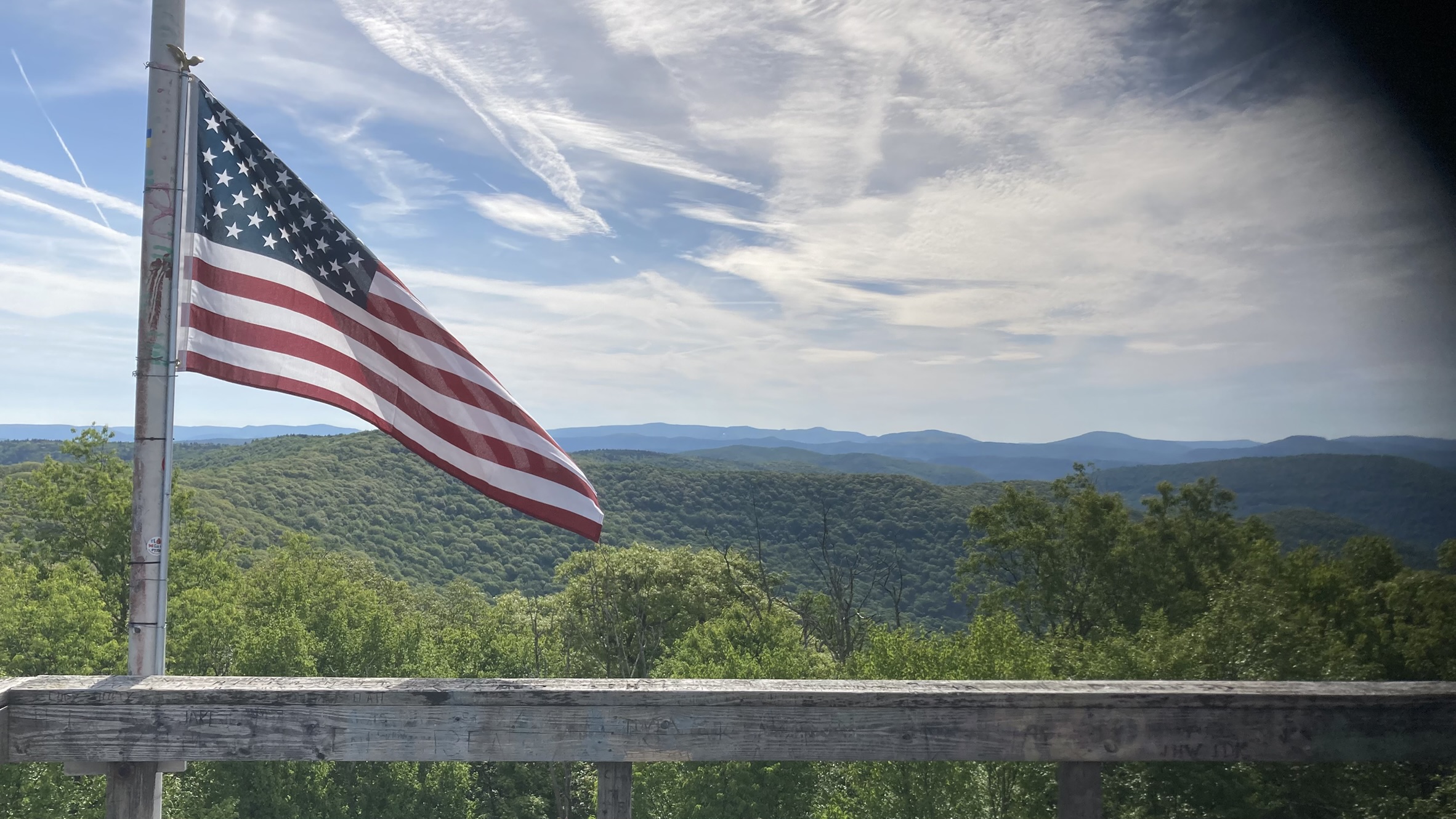
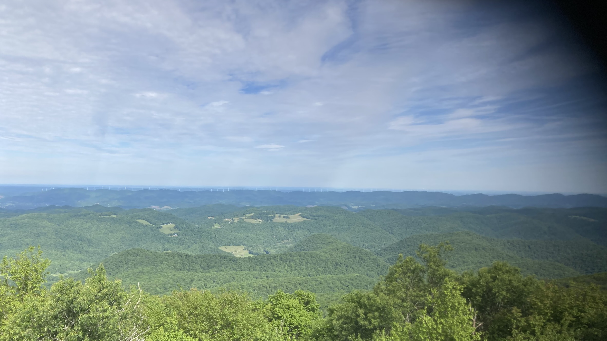
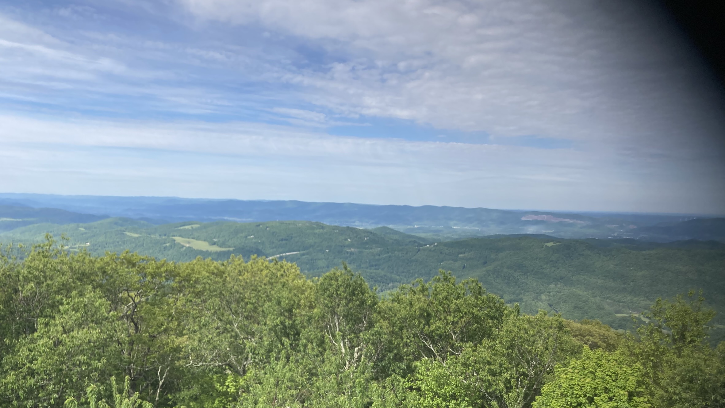
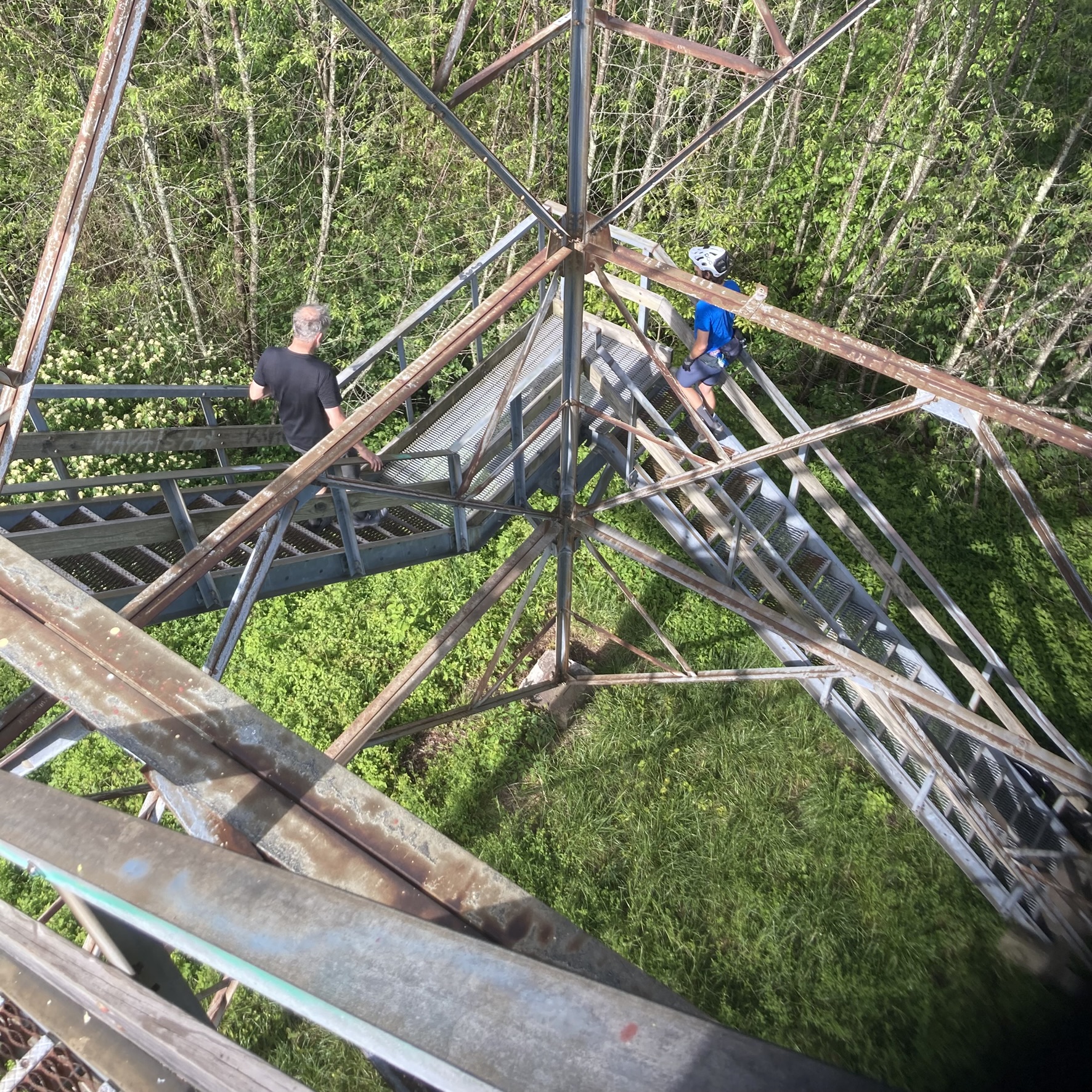
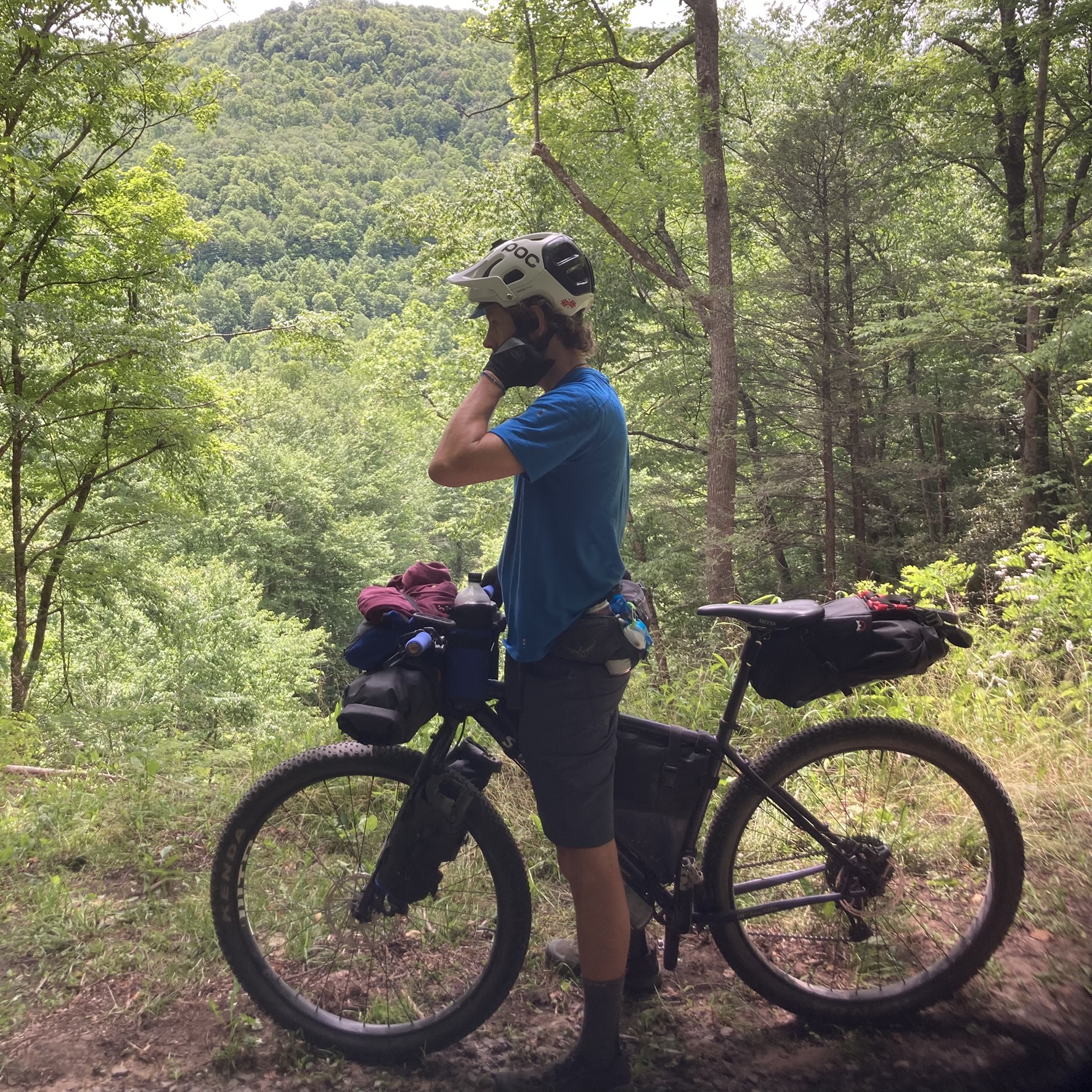
We woke up and started packing around 6:00am. After my morning coffee and pepperoni roll, we got back on the road by around 8:30am. The route continues out of the campground on the gravel forest service road. There were a few streams next to the road, so we stopped at one to filter more water for our drinking supply. The route climbs another couple of miles to Bickle Knob, a local high point with panoramic views from atop an observation tower.


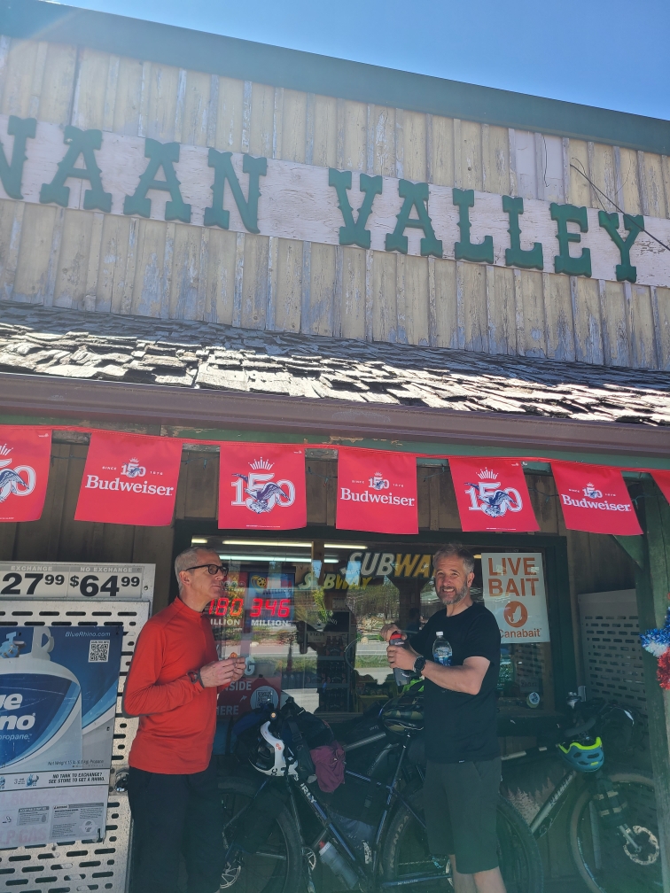
The descent from Bickle Knob was fantastic, over three and a half miles all downhill on perfect gravel. This was followed by my favorite part of the whole trip, knowns as Shavers Fork Road, where the gravel road paralleled Shavers Fork Creek along a flat to gently rolling route for nearly 15 miles. Then came a couple of not-too-severe paved climbs, then a fast, steep descent through a residential neighborhood. We ended up in the middle of a small town near the local grocery stores, so we stopped in to grab a snack and do our final resupply of fluids.

While we stood outside the store having our snacks, at least half a dozen people walking in or out gave us a friendly “Hello!” or “Enjoy your ride!” and a couple chatted about our bikes and the route. I didn’t know what town were in, so I asked a woman during one chat, “Where are we?” Turns out it was Parsons, we were about 20 miles from the end of the day’s ride.
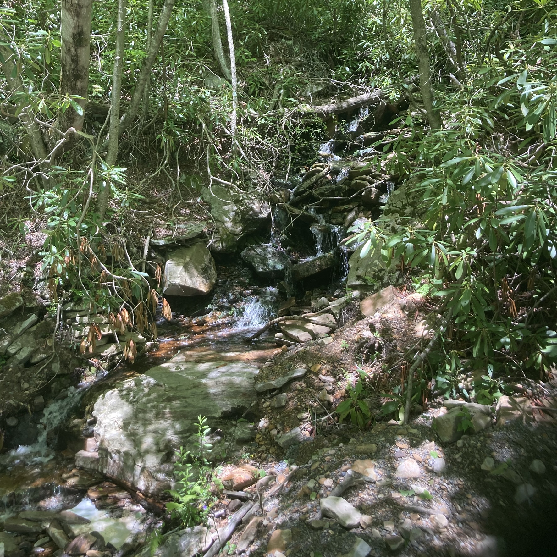
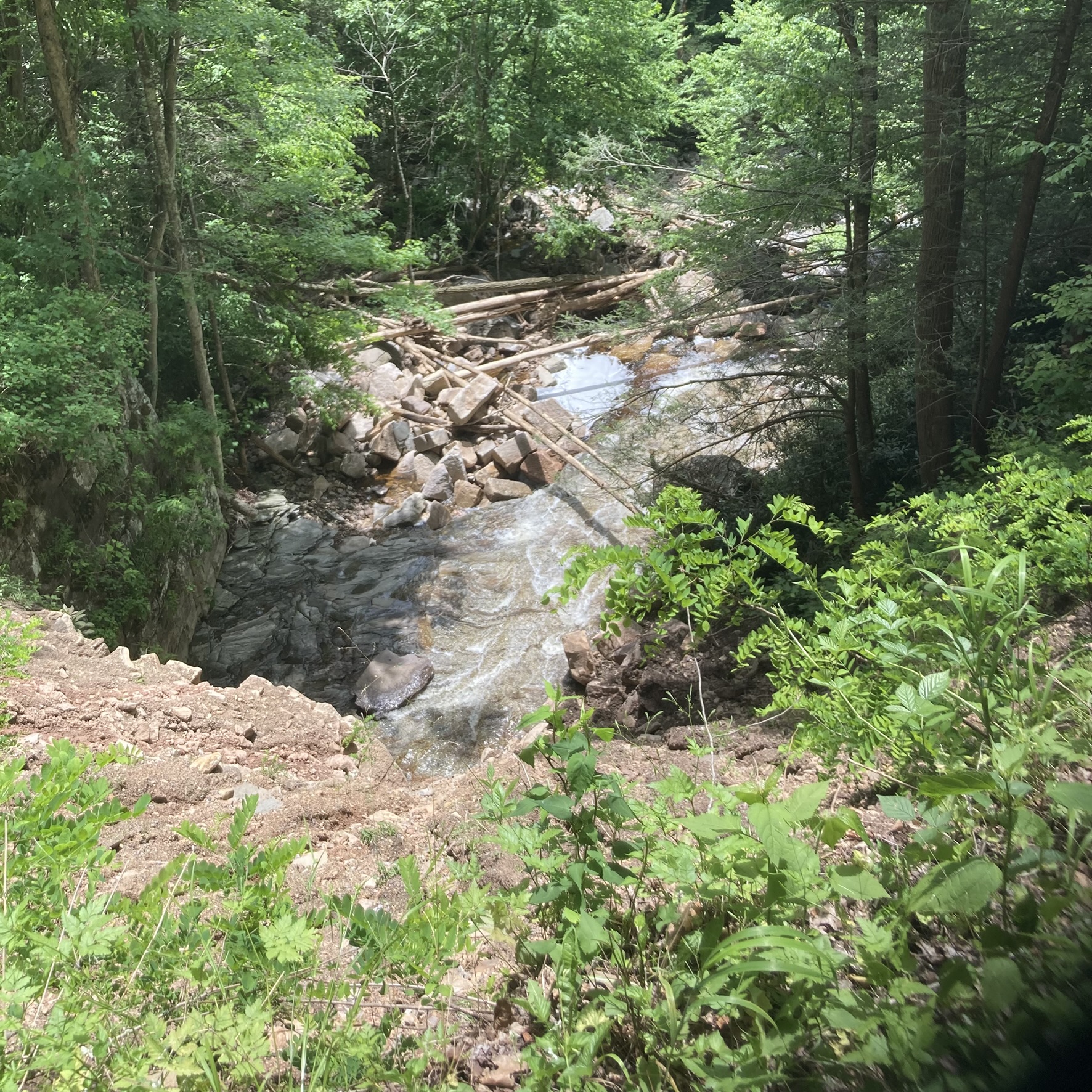
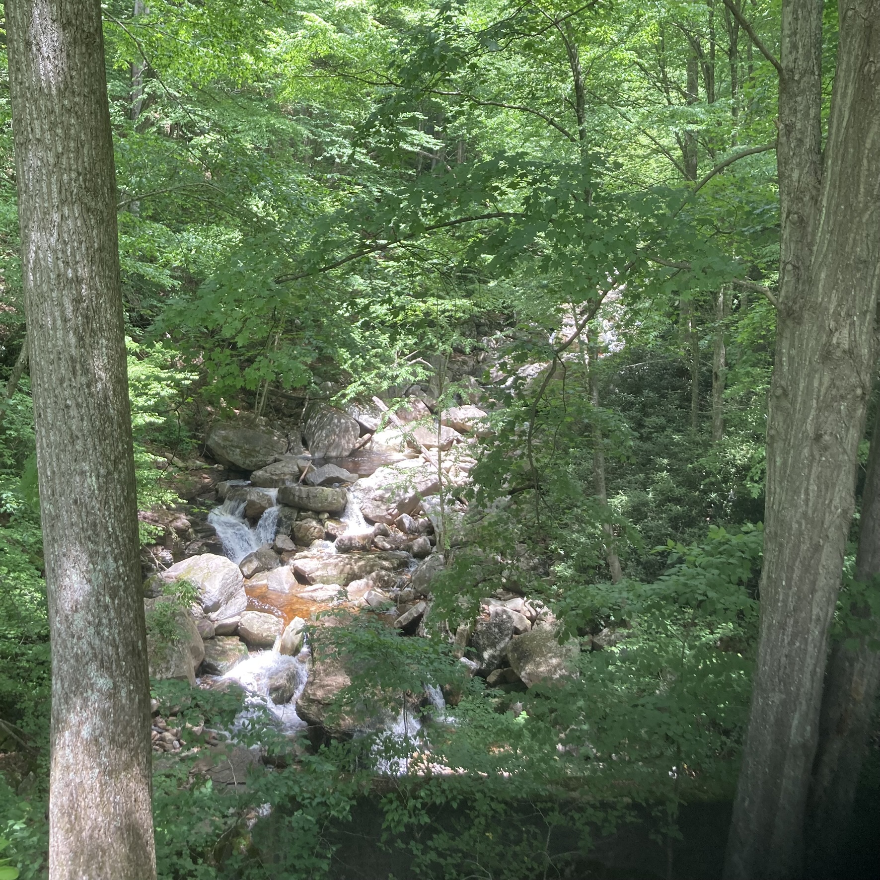
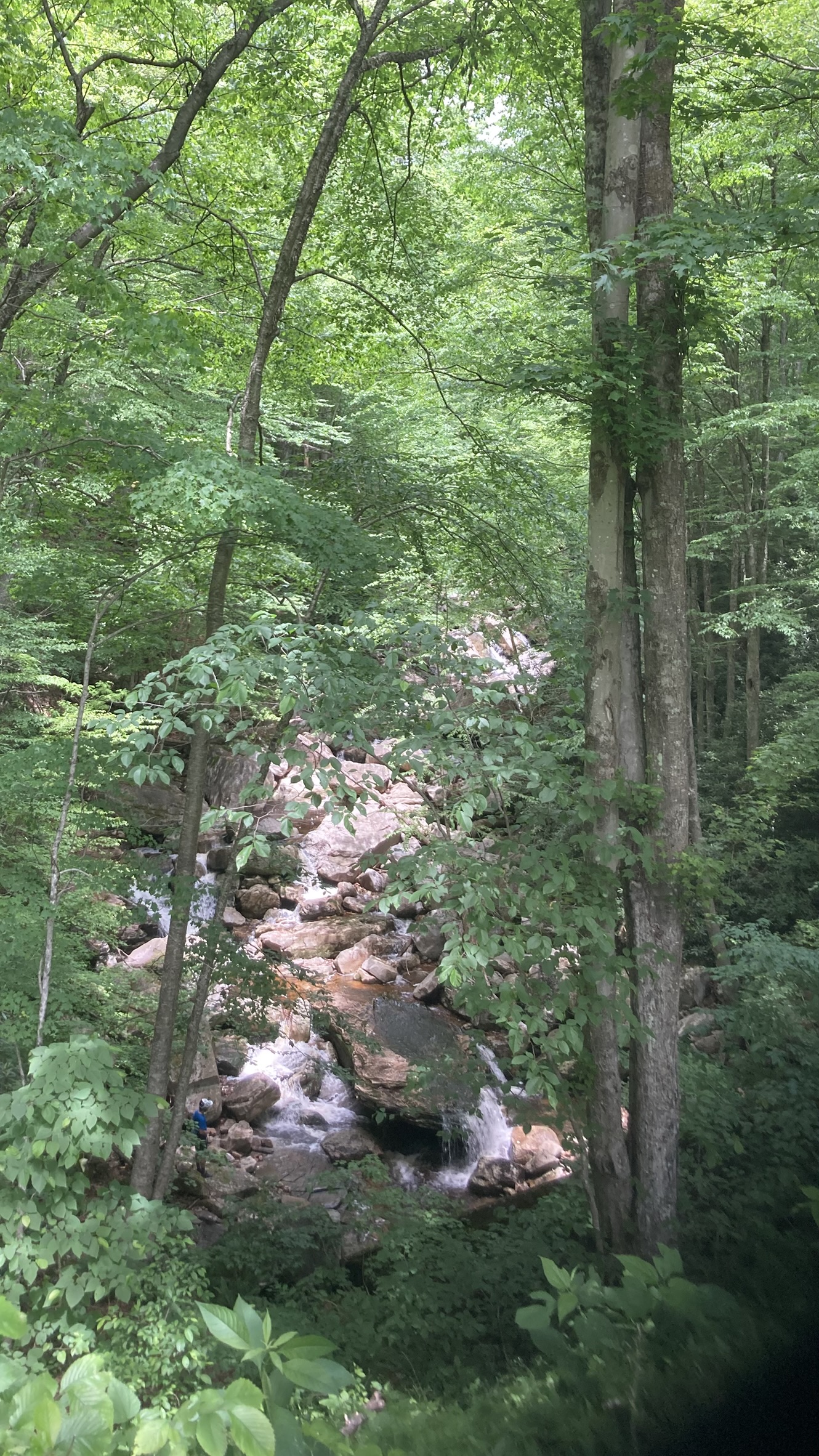
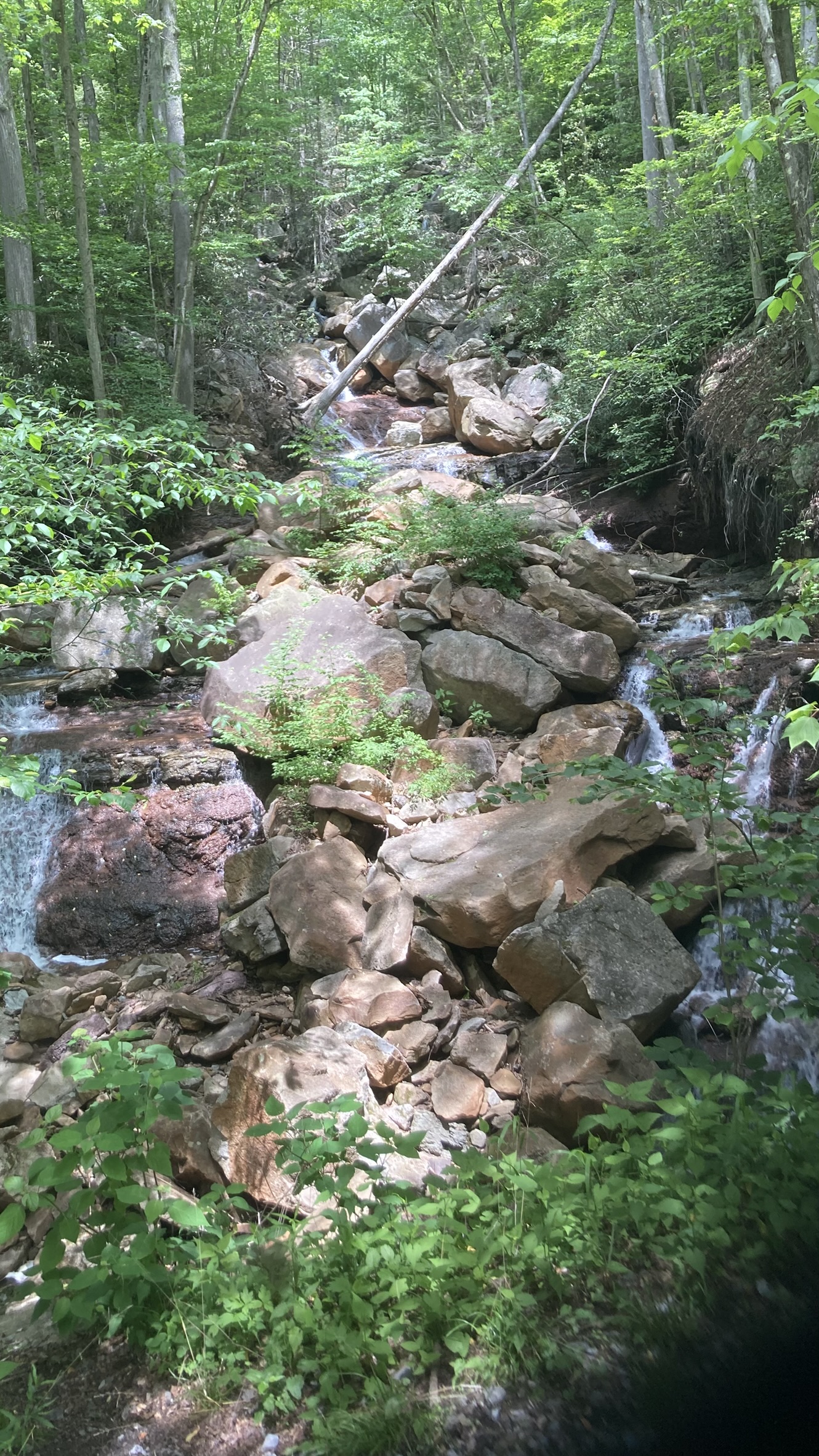
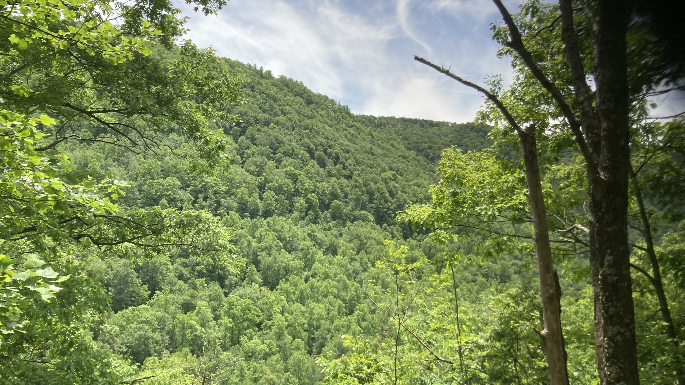
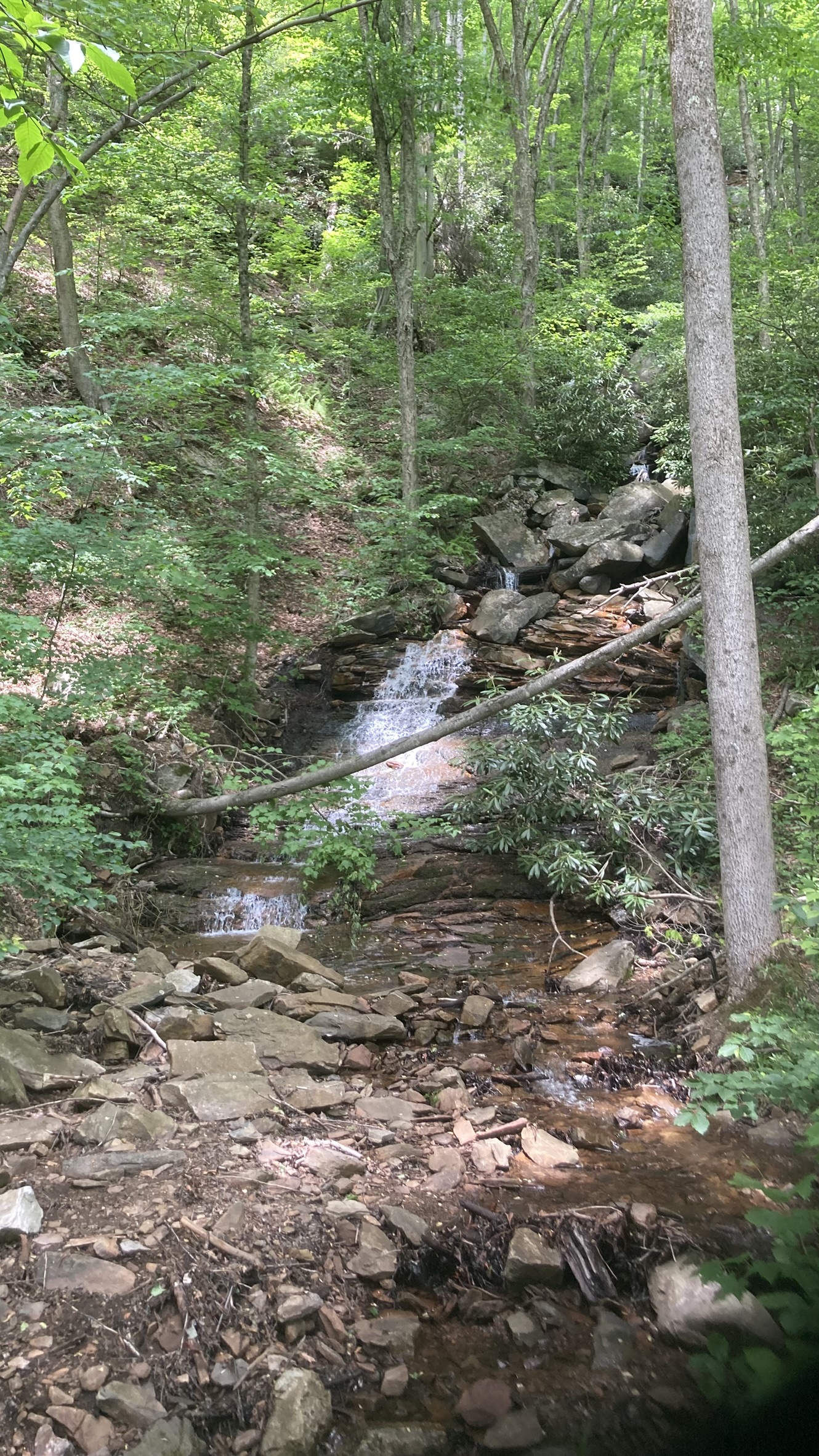
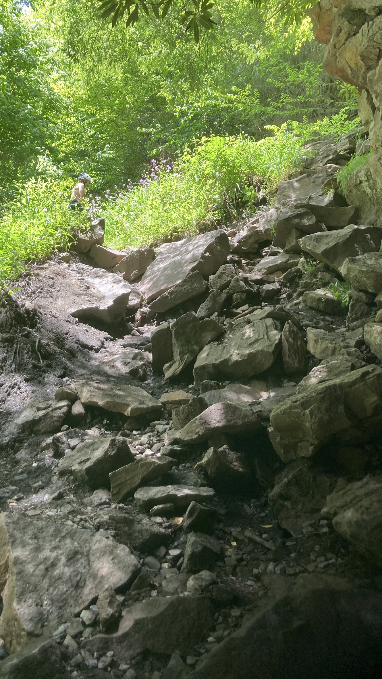
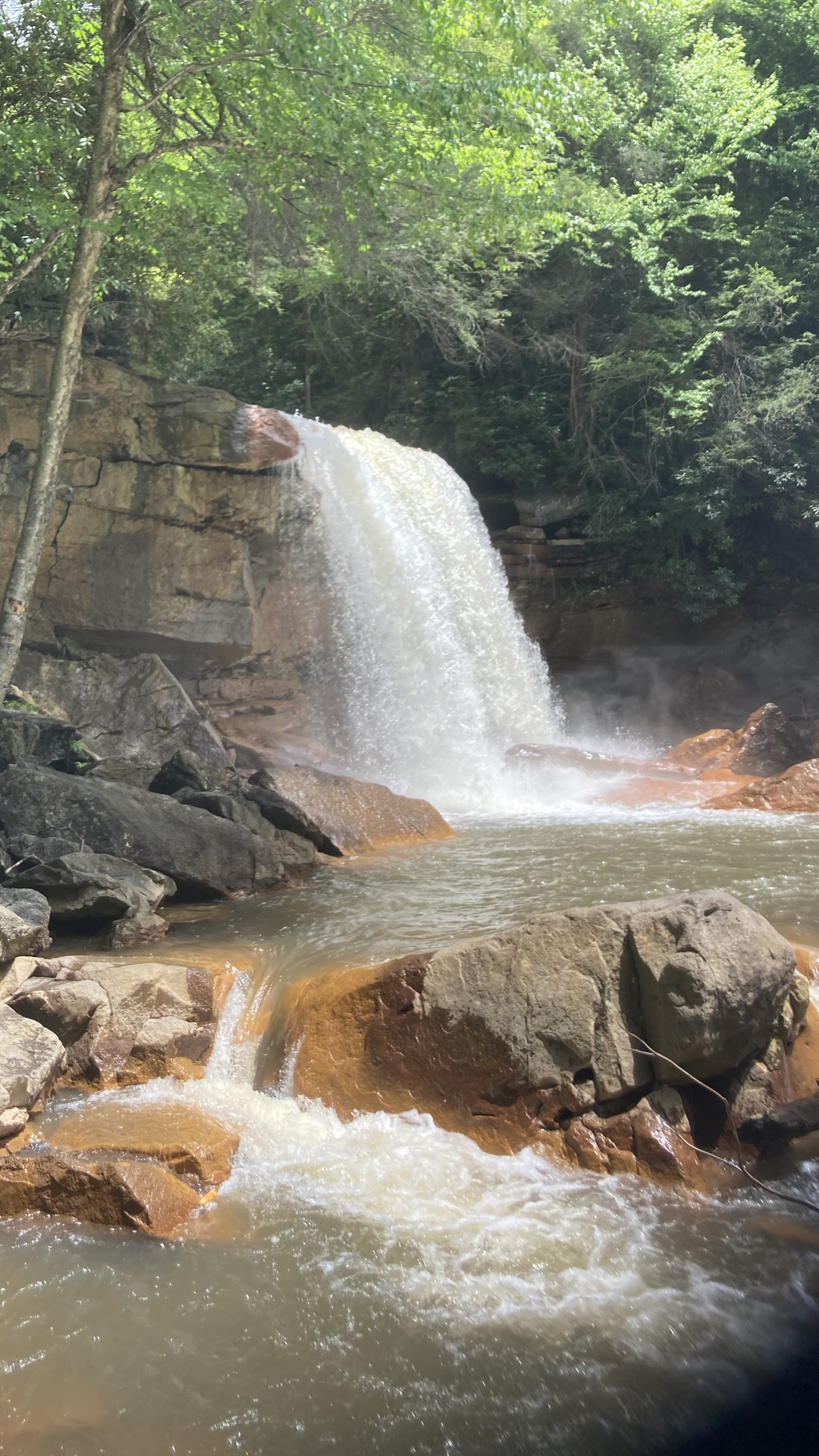
From Parsons, the route continues on the Allegheny Highlands Trail, a paved rail-trail. This goes on for only about 2.5 miles to the village of Hendricks, where it turns onto the Blackwater Canyon Trail. This is also a rail-trail, which resembles a gravel road at first, then becomes a gravel doubletrack, then narrows to a gravel singletrack. The trail climbs continuously for over 12 miles. One might think that following an old railroad grade would make this a pretty pleasant experience, but it’s one of the steepest rail-trails, rising about 100 feet per mile. That and the rough gravel surface made it one of the most challenging rail-trails I’ve ever ridden. There is some payoff, though, with periodic panoramic views of the Blackwater Canyon and a few scattered waterfalls that run adjacent to (and under) the trail. The highlight was Douglas Falls, which you can get up close to using a very steep and rocky access trail (probably not a sanctioned trail).


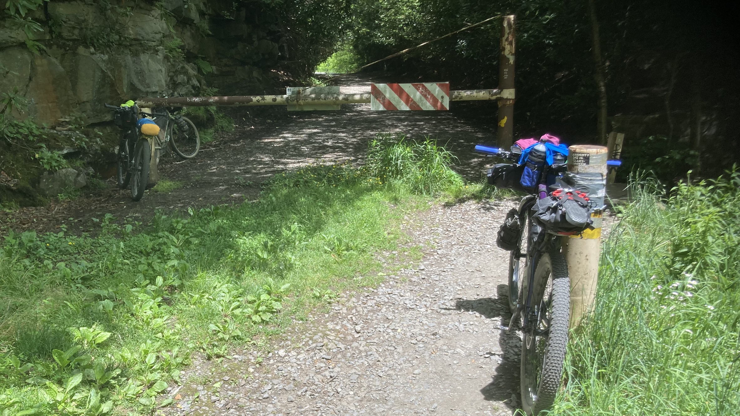
Beyond a trail gate at Douglas Falls, the route opens back up to a proper gravel road, which runs for a few miles until you get to the town of Thomas. Along the way, there are several industrial ruins and historical markers.

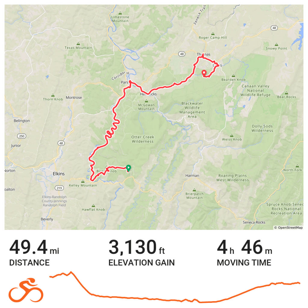
We followed the main paved highway from Thomas back to Davis, but instead of following the route from downtown Davis back to the Blackwater Lodge, Brent used Google Maps and found a more interesting dirt road that was part of the Allegheny Trail that roughly paralleled the Blackwater River for about a mile, and took us to the Blackwater Lodge Road, roughly near the parking for the Blackwater Falls viewpoint. From there is was a little over a mile on the pavement back to the lodge and our parked car, 49.22 miles for the day.
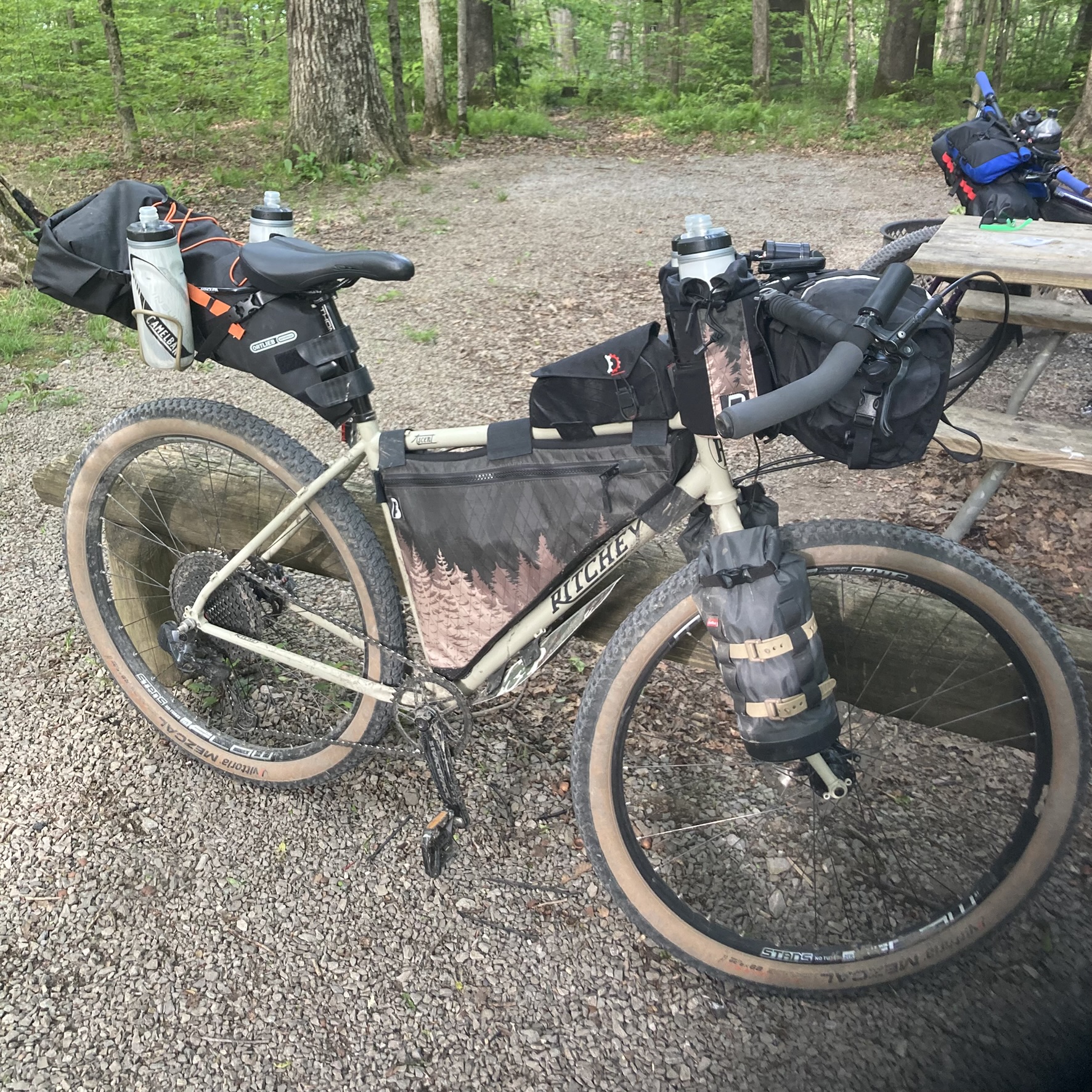
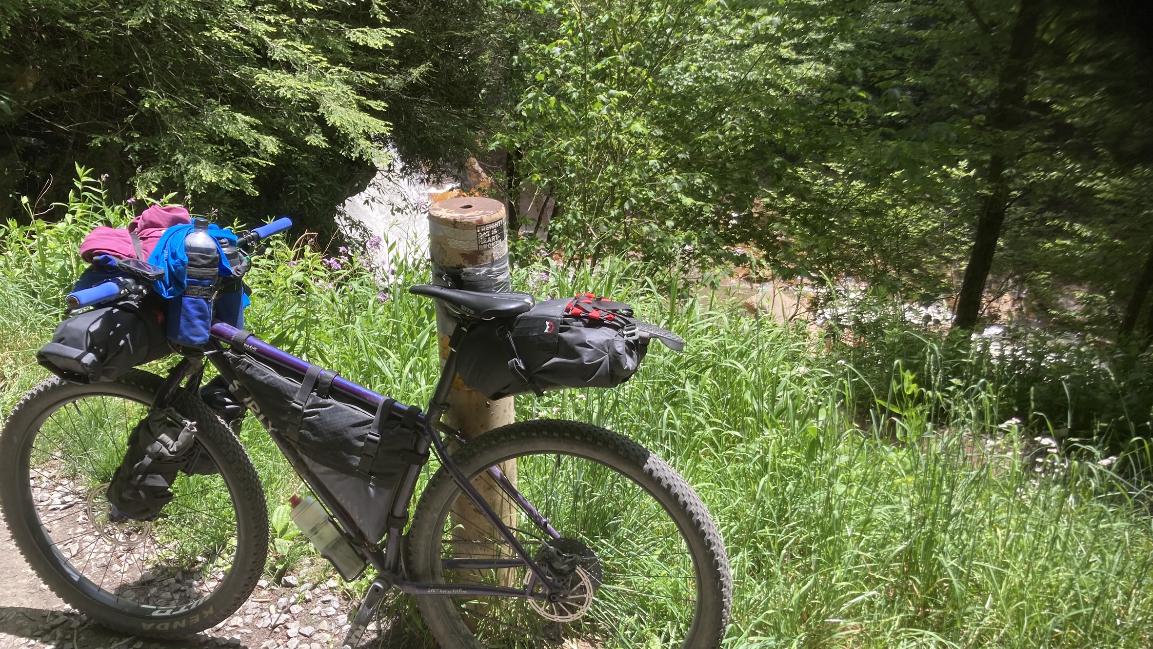
My bike setup worked perfectly for the trip, and none of us experienced any mechanical issues. Here are some highlights of my setup for those interested; drop a question in the comments if you want any more details:
- Bike: Ritchey Ascent (size Large)
- Tires: Vittoria Mezcal III 29×2.35, tubeless with Finish Line sealant
- Drivetrain: SRAM GX Eagle AXS (11-50 NX cassette)
- Brakes: Shimano MT-200
- Handlebars: Surly Corner Bar
- Cranks: RaceFace Ride 175mm, Wheels Manufacturing 24mm bottom bracket, 38T Wolf Tooth Components Drop-Stop Oval chainring
- Pedals: Shimano PD-T8000 dual-platform (SPD on one side, platform with traction pins on the other side)
- Hubs
- SRAM 700 Boost (rear)
- Shutter Precision 8X Dynamo Boost (front)
- Navigation: Garmin Edge 840 Solar
- Lighting
- Front: Sinewave Beacon 2.0
- SON Dynamo rack-mount (rear, attached to rack eyelet)
- NiteRider Vmax+ 150 (rear, attached to seat bag)
- Bags
- Front: Swift Industries Zeitgeist – sleeping bag, rain jacket, fleece jacket, toothbrush kit, travel pack of pre-moistened wipes, spare eyeglasses, travel size sunscreen, hand sanitizer, small chain lock.
- Rear: Ortlieb 16.5L Bikepacking Seat Pack – Tent (Nemo Dragonfly Bikepacking 1P), pillow, sleeping pad (Klymit Static V Insulated), Pearl Izumi convertible jacket/vest (bungeed on top)
- Frame bag: Custom from Broadfork Bags – two spare tubes, mini-pump, tool kit, food, stove, fuel can, cooking pot, water filter (Sawyer Squeeze), water storage/filtering bag.
- Top tube bag: Revelate Designs Mag-Tank – mid-ride snacks (gummy bears and a carmel waffle)
- Fork bags: Salsa Cycles Anything Cage Bags – down jacket (one side), long wool baselayers and thick wool socks (other side)
- Hydration
- Two Broadfork Bags Bar Bucket Feed Bags on the handlebars
- Two bottle cages attached to a Minoura SBS-250 seat bag support/bottle mount
I plugged my phone into the USB port of the Sinewave headlight, and that was enough to keep it well charged throughout the whole trip, even though the slow speeds of the frequent climbs made the dynamo hub stop putting out enough juice to charge. I considered bringing a battery bank, but I figured with the headlight keeping my phone charged, and a full charge on my Garmin Edge being enough to last at least as long as the two-day trip, I didn’t need to bring any extra power sources. There often was too weak coverage for my phone to even work anyway, so I could have gotten by with turning it off and not using the dynamo power at all.
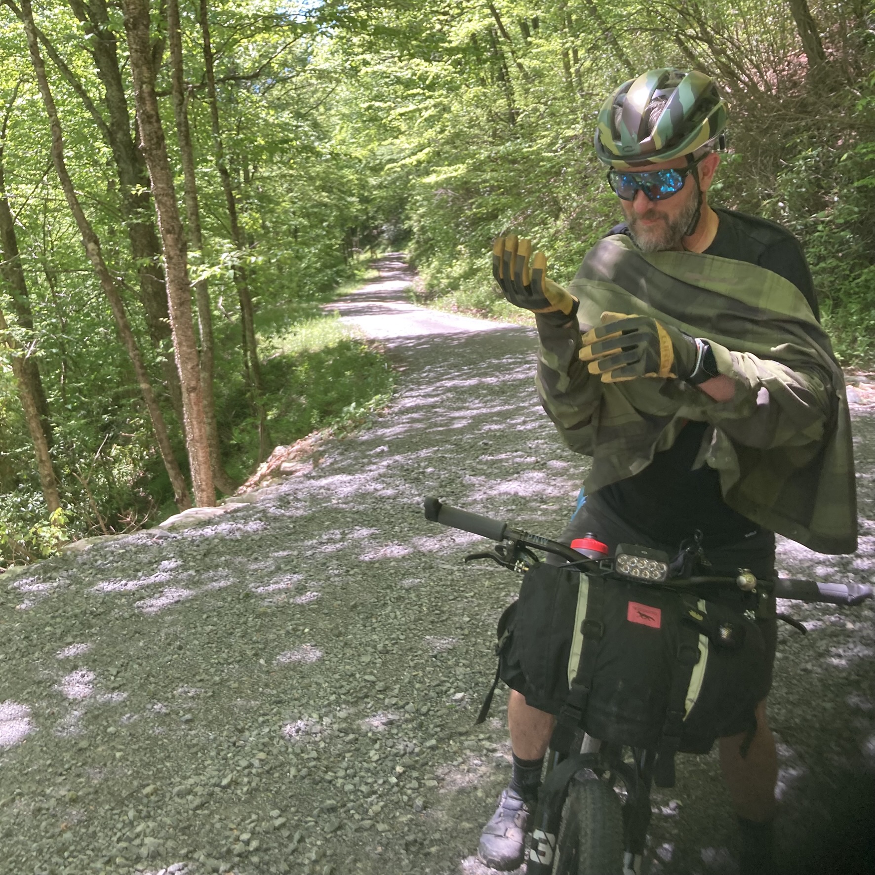
The daytime temperatures were cool, dry, and pleasant both days. I only wore the Pearl Izumi jacket once, from leaving the campground Monday morning until we got to Bickle Knob. It got a bit chilly during the descent from Bickle Knob, and I was wishing I had left the jacket on, but I survived.
The four water bottles worked well given the stores and streams available along the route. The Ortlieb seat pack straps are pretty solid, and I’ve never experienced any wobble when using it. The Minoura bottle cage rack made it even more solid, but one of the ends of the bottle cage bolts wore a hole through the seat bag on one side. Once again, live and learn. For future trips where I need more water carrying capacity, I’m considering a minimal rear rack, where I can mount bottle cages on the sides and use a large stuff bag on top in lieu of a seat pack.
This packing setup was a little less organized than I usually do. It was more of a “pack it where it fits” strategy, which worked pretty okay for a single night trip. For a longer trip, I would have used a bag setup with a little more capacity that allowed for better organization.
I would highly recommend the Canaan Valley and the Forks of Cheat route for anyone looking for a one-night bikepacking trip that’s easy to plan but with two solid days of challenging cycling.


Leave a comment